Training Log Archive: NadimIn the 9 days ending Aug 4, 2013:
| |||||||||||||||||||||||||||||||||||||||||||||||||||||||||||||||||||||||||||||||
| « | » |
| » now | |||||||||||||||||||||
| Sa | Su | Mo | Tu | We | Th | Fr | Sa | Su | ||||||||||||||||
Sunday Aug 4, 2013 #
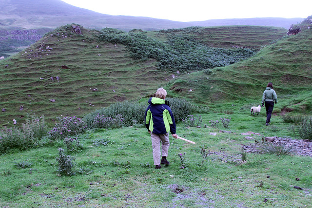
Hiking (General) 1:00:00 [1] 0.5 mi (1:59:57 / mi)
slept:6.75
Hiking (General) 2:42:04 4.73 mi (34:17 / mi) +436m 26:39 / mi
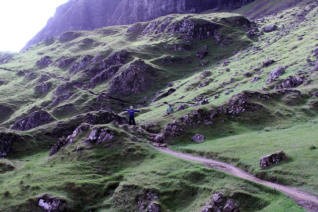
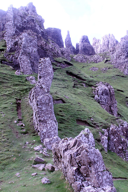
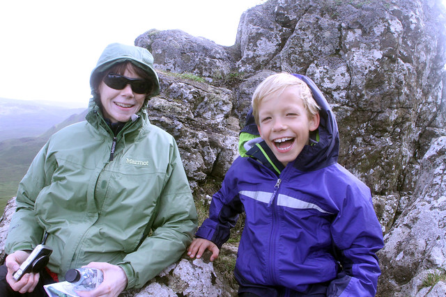
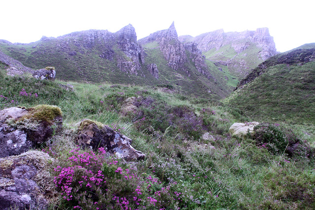
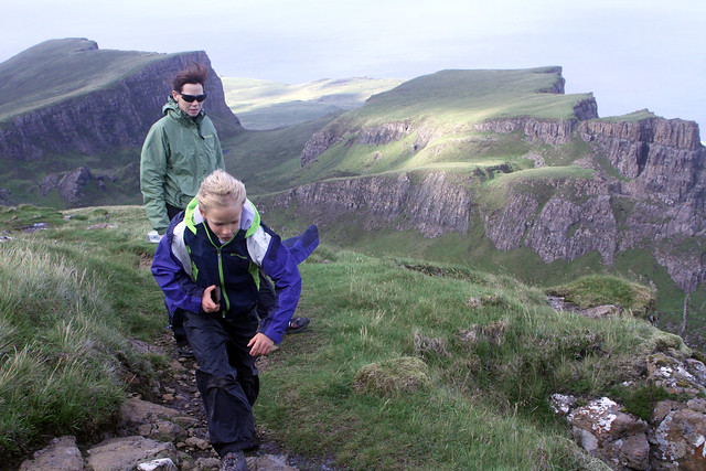
Hiking (General) 50:27 1.3 mi (38:49 / mi) +49m 34:45 / mi
Saturday Aug 3, 2013 #
Running warm up/down (Trail) 17:25 [2] 1.49 mi (11:43 / mi) +67m 10:17 / mi
slept:6.7
Orienteering (Foot) 1:54:42 [4] **** 8.4 km (13:39 / km) +430m 10:52 / km
spiked:26/30c
The worst of the day was #4. It was a short leg but with the mapping (which I didn't like) it was deceptively difficult. Initially, I hugged the ridge that I'd gotten to #3 on. I didn't pace count but expected it on the other side of a knoll in a reentrant. The vegetation mapping led me to believe it to be near a clearing but I I'd didn't find it there. Eventually, I figured it was a ridge over, and lower. The ridges were rather small. I didn't find it on this ridge so I went back almost to #3. My bearing took me to where I'd been before. I next tried to go to a trail bend. I was still having trouble figuring out the bends even though I had no trouble using the same trail to attack #1 from. Eventually I figured it all out but I'd taken almost 17 minutes on a 2-3 minute leg. Even when leaving #4, the trail bend I had wanted to use to attack from was much farther away than I'd expected.
Missing #4 affected me getting to #5. I missed a trail intersection right away and rashly decided to go on anyway. I walked much of the way trying to make sense of the contours. When I'd reached the ridge it was near, I was fortunate to turn right and get to the control quickly.
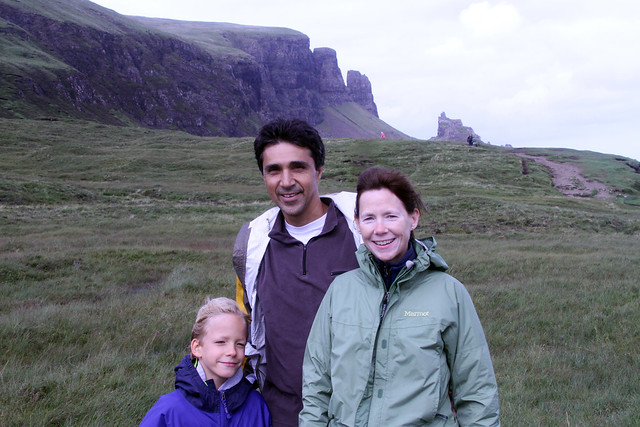
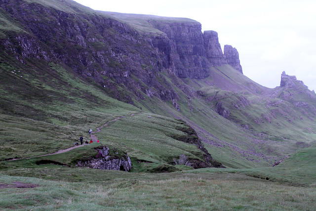
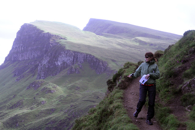
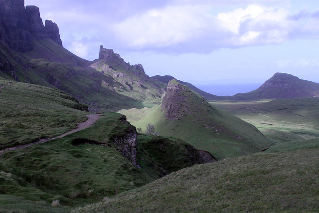
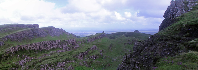
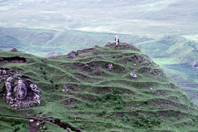
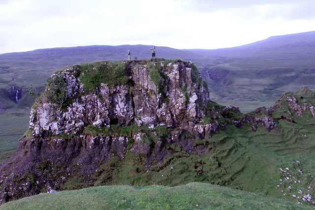
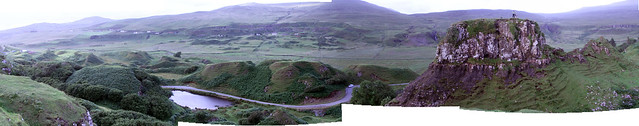
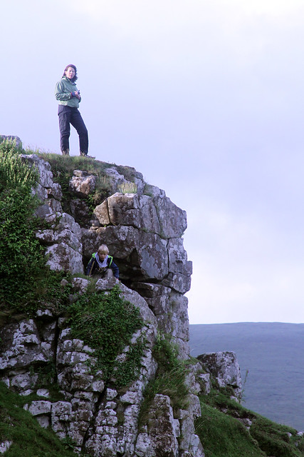
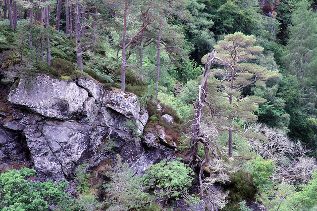
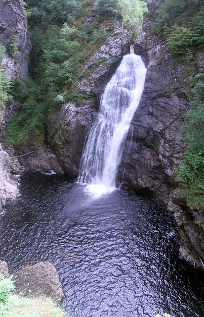
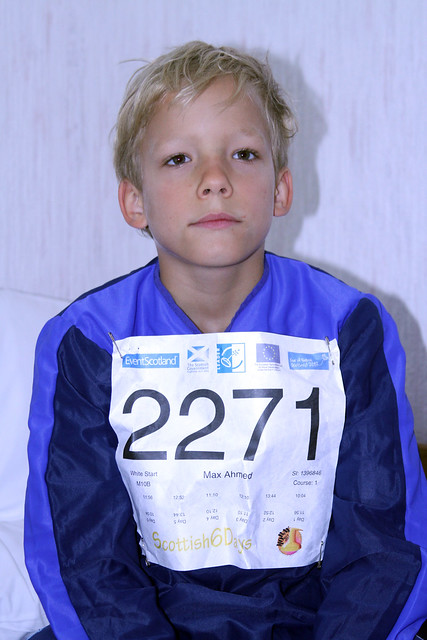
After these misses, I started hitting controls again. I ran with better confidence but I was too tired to run well. My fatigue was the sum of a long week. At the road crossing, I only paused for a short while though I had up to five minutes. I also missed the next real control for another minute loss--I didn't really like the placement in the middle of a long spur that I had to climb to. I pretty much hit all of the rest. I somehow managed to run hard from the Go control. This was another humbling day for me but I had enjoyed the Scottish 6 Days. The events were really well run. The terrain was overall really technically challenging--we have nothing like it in Maryland or Virginia that I've seen except perhaps Bear Island in Great Falls, MD where we are no longer allowed to race or train for environmental reasons.
Friday Aug 2, 2013 #
Running warm up/down (Trail) 24:29 [2] 2.28 mi (10:43 / mi) +11m 10:34 / mi
slept:7.0
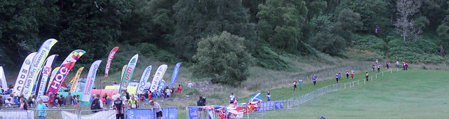
Orienteering race (Foot) 1:46:20 [4] ***** 7.4 km (14:22 / km) +320m 11:49 / km
spiked:24/30c
On control #12 I left #11 too quickly without seeing the trail route to the left. I guess I had confused the straight second trail for a form line. Going fairly straight, I pulled up too quickly at the first set of hills after a major trail crossing. I convinced myself that I had gone past an intermittent trail without having seen it so I searched for a long while. Even after moving on, I hunted too high before finding it. I lost about 10 minutes on this leg. I got back on track for a while, not perfectly clean but almost until control #21. I took the shortest route going straight instead of following the trail over the ditches. I was already not thinking well as I attacked after the first ditch. Fatigue was wearing on me. On #22 which should have been an easy control in a clearing, I think there was a slight map problem with a triangle of wood not ending on the map where it did in reality, I went to the wrong knolls and wandered back and forth much more than I would have.
I lost 8 minutes and 5 minutes at #25 and #26. I thought I was aiming off to the right on #25 but I missed to the left. I was again far left going to #26, so much so that I hit the trail and had to come in and backwards a little. I was really just drained at this point. Having water on the course would have really helped. The vegetation was high in the area of #26 and I had taken to walking.
I forced myself to trudge on after these areas an I was able to run better into the finish as I spiked the last few controls. I made some big errors and took too long figuring them out today. I hope to be better tomorrow outside of the sand. My early start won't help a lot as others may have elephant trails to follow. Today there were few elephant trails since the footing was pretty good. It'll be the biggest physical day measured by traditional distance and time standards tomorrow too.
Thursday Aug 1, 2013 #
Running warm up/down (Street and Trail) 10:40 [2] 1.86 km (5:43 / km) +13m 5:32 / km
slept:7.0
Orienteering race (Foot) 1:23:17 [4] *** 7.7 km (10:49 / km) +230m 9:25 / km
spiked:17/20c
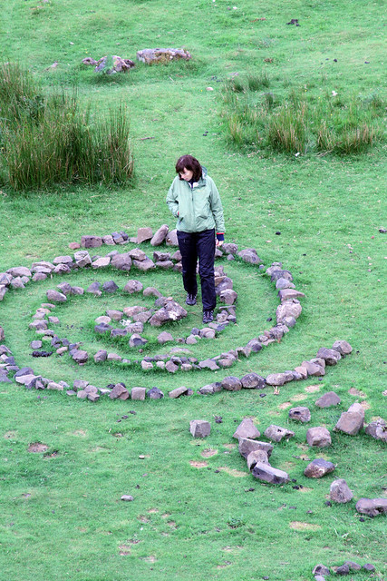
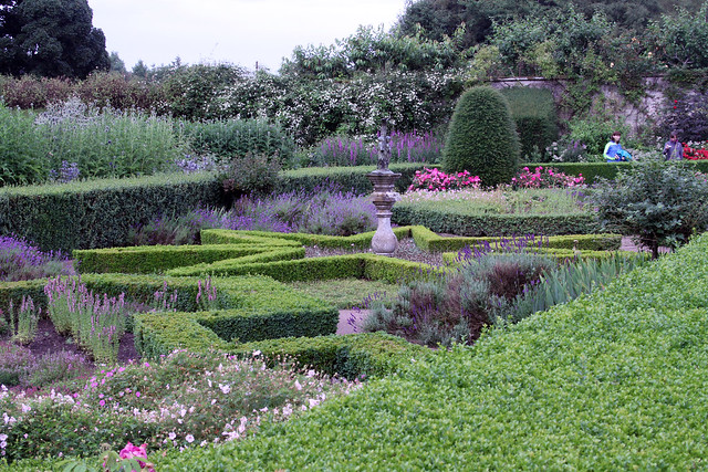
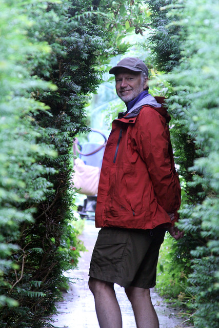
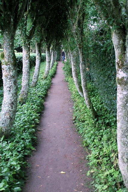
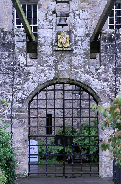
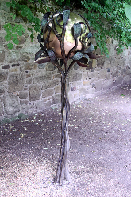
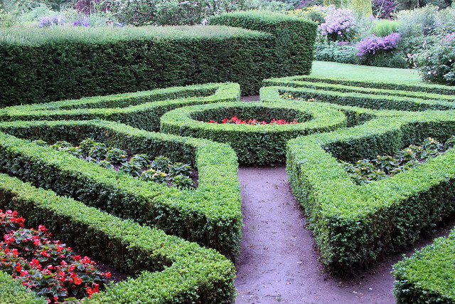
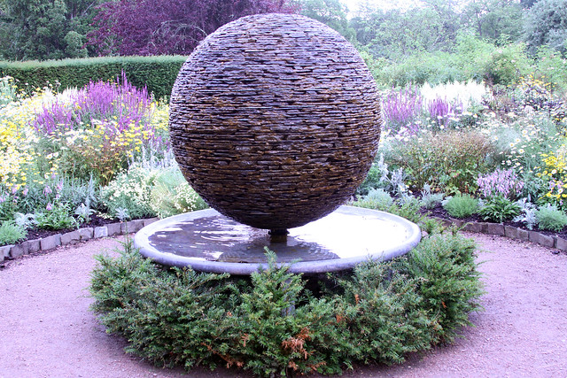
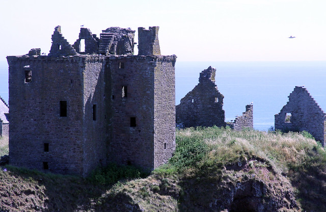
After the race, we went with other QOC friends to Cawdor Castle, touring the inside and the formal gardens. The grounds apart from the formal garden were used in a previous Scottish Six Day event.
Wednesday Jul 31, 2013 #
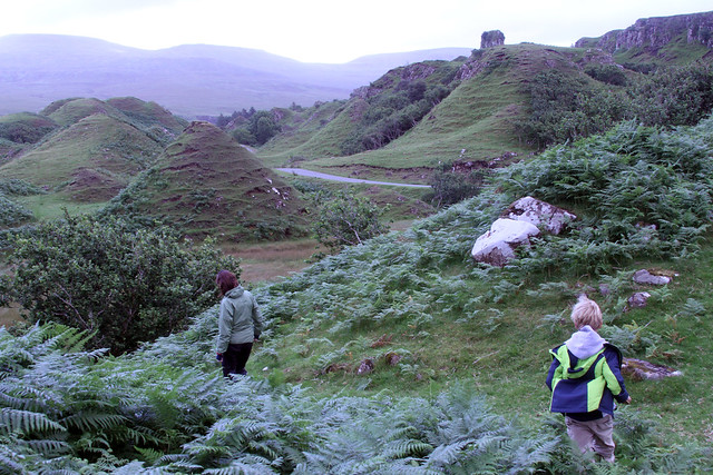
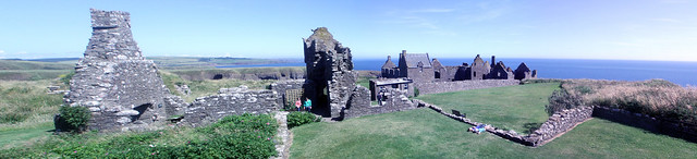
Hiking (Foot) 1:30:00 [3] 2.5 mi (36:00 / mi)
slept:9.0
Tuesday Jul 30, 2013 #
Running warm up/down (Foot) 14:43 [2] * 1.43 mi (10:19 / mi) +28m 9:43 / mi
Orienteering race (Foot) 1:10:31 [4] **** 7.6 km (9:17 / km) +85m 8:47 / km
spiked:18/22c
Running warm up/down (Trail) 7:00 [2] 0.7 mi (10:00 / mi) +6m 9:44 / mi
Monday Jul 29, 2013 #
Running warm up/down (Trail) 6:47 [3] 0.74 mi (9:10 / mi) +2m 9:05 / mi
slept:8.0
Orienteering race (Foot) 1:13:44 [4] **** 8.4 km (8:47 / km) +20m 8:40 / km
spiked:25/29c
Sunday Jul 28, 2013 #
Running warm up/down (Trail) 14:00 [2] 1.53 km (9:09 / km) +11m 8:50 / km
slept:7.0
Orienteering race (Foot) 53:57 [4] *** 7.6 km (7:06 / km) +49m 6:53 / km
spiked:13/18c
Saturday Jul 27, 2013 #
Hiking (Foot) 2:00:00 [1] 1.0 mi (2:00:02 / mi)
slept:7.0
Orienteering (Foot) 1:06:00 3.0 mi (22:00 / mi)