WPOC - Laurel Hill
Somerset, PA, US
Oct 22, 2017
Type: Orienteering - Local
added by: sherpes
Held at Laurel Hill State Park, Willis Pavilion, on October 22. Courses: Beginner 2.4 km. Novice 3.7 km, Intermediate 4.7 km, Advanced Short 3.9 km, and Advanced Long 6.8 km. Come and enjoy the open forest, high (relatively) altitude and courses with 3% or less climb.
Registration and start are from 11 am to 2 pm; the map fee is the usual $5 for members and $6 for non-members. Driving directions are given below or go to www.wpoc.org Note: the Willis Pavilion is near the lake, about 2 miles inside the park.
Don't forget, if you are bringing a minor who is not your son or daughter, you need to bring a waiver signed by the minor's parent (obtainable under Club Documents at www.wpoc.org ).
Driving Directions:
From route 219 east of Somerset:
Take the exit for 281 South. Follow that for 1.7 miles to a traffic signal where 281 zigs to the left. Turn left and go for about 0.25 miles to where 281 South zags to the right and joins with 31 West (at the next traffic signal); there turn right. Follow 281/31 through Somerset (stay in the right lane) for 1.3 miles to where 281 and 31 split. Stay with 31 West for 6.6 miles until you reach Trent Rd, there turn left. Go 1.6 miles to the entrance to Laurel Hill S.P. on your right. Then follow the red and white orienteering signs to parking.
From the PA Turnpike, exit 110 at Somerset:
From the exit, go south on route 601 into downtown Somerset were route 31 crosses. Turn right on 281 South/31 West and go for 0.8 miles to where 281 and 31 split. Stay with 31 West for 6.6 miles until you reach Trent Rd, there turn left. Go 1.6 miles to the entrance to Laurel Hill S.P. on your right. Then follow the red and white orienteering signs to parking.
From the PA Turnpike, exit 91 at Donegal:
Follow route 711 South to route 31 East. Go on route 31 East 11.4 miles to Trent Rd, there turn right. Go 1.6 miles to the entrance to Laurel Hill S.P. on your right. Then follow the red and white orienteering signs to parking.
From route 30 at Ligonier:
Follow route 30 East for 2 miles to route 381 South, there turn right. Follow route 381 South for about 12 miles to route 31. Turn left onto route 31 East and go for 8.8 miles to Trent Rd, there turn right. Go 1.6 miles to the entrance to Laurel Hill S.P. on your right. Then follow the red and white orienteering signs to parking.
Alternative: From route 30, take route 711 South to Donegal; then follow the directions for PA Turnpike exit 91.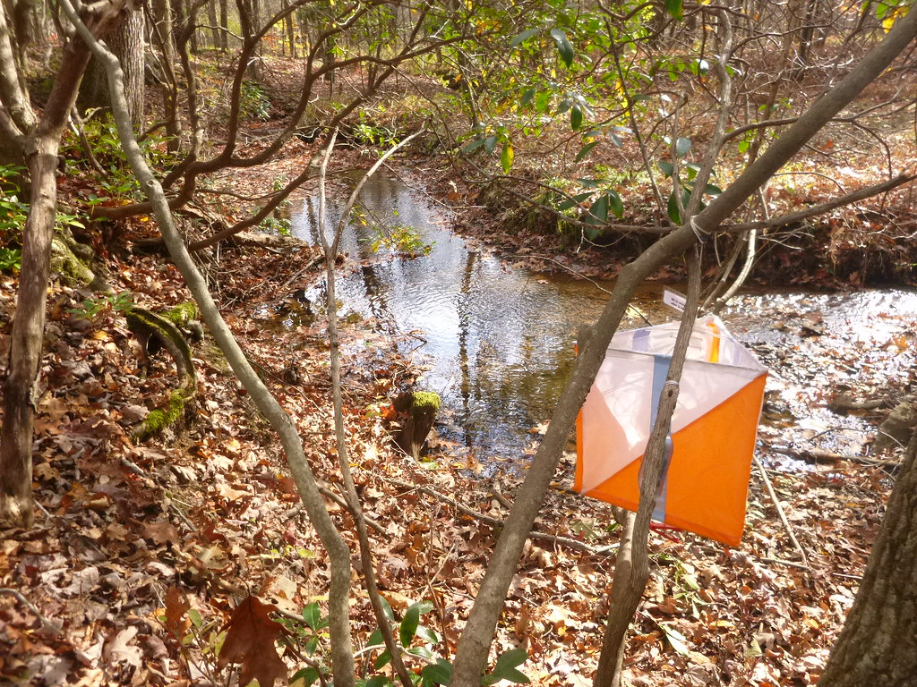
Discussion
| 2,369 days ago | |||
| • | photos | 3 | |

See also:
| Aug 26, 2017 | BFLO - The Ellicottville Adventure Run and Hike(mini-Rogaine) | |
| Sep 10, 2017 | WPOC - Keystone | |
| Sep 16–17, 2017 | Falls Classic - Letchworth State Park | |
| Sep 24, 2017 | WPOC - Boyce Park | |
| Oct 7, 2017 | Step Trek | |
| Oct 8, 2017 | WPOC - Bradys Run | |
| Nov 4–5, 2017 | DVOA National Event Nov 4-5 | |
| Nov 11–12, 2017 | QOC Quinquagenary @ Quantico National Meet | |
| Nov 12, 2017 | WPOC - Pine Ridge | |