Training Log Archive: vmeyerIn the 7 days ending Mar 20, 2017:
| |||||||||||||||||||||||||||||||||||||||||||||||||||||||||||||||||||||||||||||||
| « | » |
| » now | |||||||||||
| Tu | We | Th | Fr | Sa | Su | Mo | ||||||||
Monday Mar 20, 2017 #
Peppering 14:20 [1] 1.42 mi (10:06 / mi) +68m 8:48 / mi
ahr:90 max:149 weight:193lbs
Peppering 15:00 [1] 1.5 mi (10:00 / mi) +85m 8:30 / mi
ahr:93 max:152
Pepper hasn't been into the woods for a couple of days, so she was anxious to go, and it was a wild time. Saw the fox again, and she was determined. I managed to keep her in check, but not before she climbed a couple of trees, or so it seemed. She was also determined to go into the swamp at the bottom. I had to move the leash to the front of the harness to finally get her to come easily. Tongue hanging out the side at the end, Pepper's too.
Sunday Mar 19, 2017 #
Peppering 17:40 [1] 1.76 mi (10:02 / mi) +62m 9:03 / mi
ahr:85 max:138
Stayed home today and did basically nothing except a leisurely walk with some Pepper bursts sprinkled in, as well as lunch and a nap with Roger (and Pepper).
Saturday Mar 18, 2017 #
Note
weight:191lbs
Left the house at 4:30, stopped for gas, and headed up 270/70. Had to stop at Myersville, MD McDonald's because my stomach was upset. Luckily, it didn't bother me the rest of the day.
I had decided to drive up in the morning so that I could spend more time with Pepper. Actually, it was because I knew I wouldn't have my act together, and I didn't, evidenced by the fact that I had to turn around about 5 minutes from home and go back for my hydration pack.
The foggy conditions outside of Breezewood was horrible, but I arrived at the park just safely after 7. It was all a blur after that. ;-)
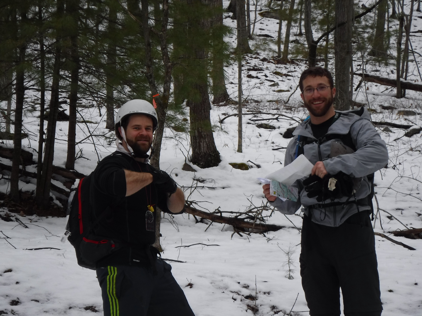
Checked in and found Sandy, who went over the plan, the first of several.
It was nice to see some other familiar faces - Cheese, Clint! We missed you, J-J!
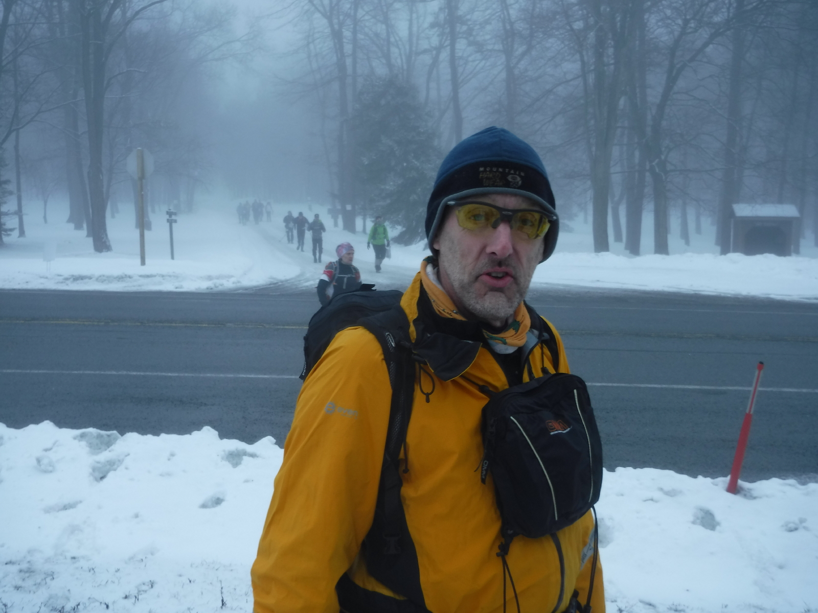
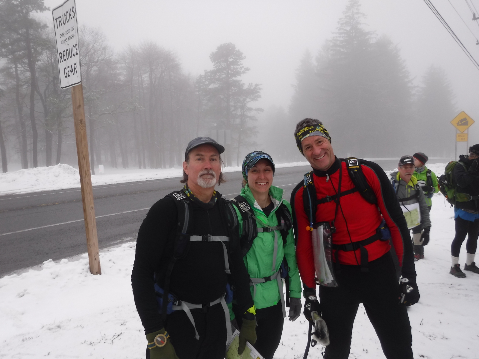
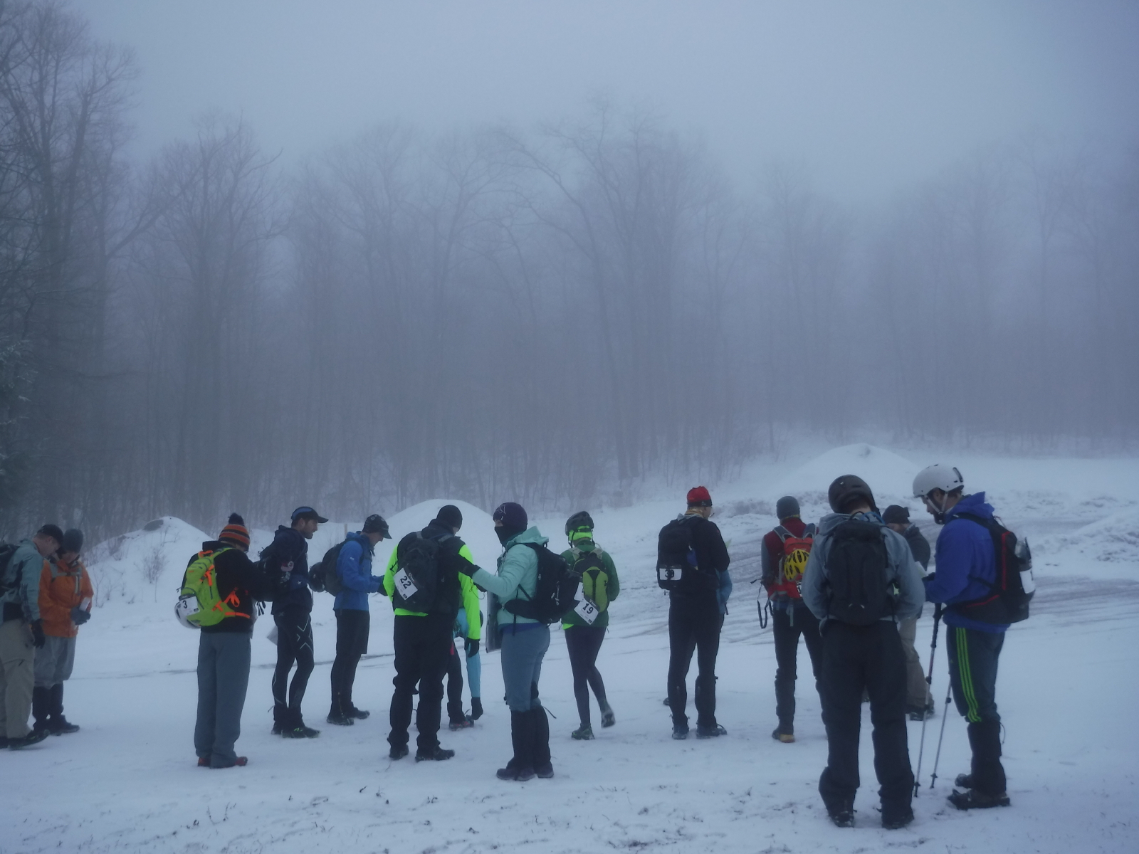
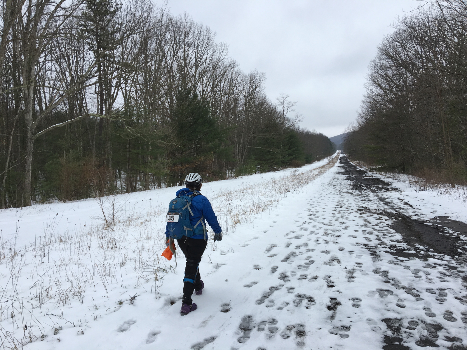
Conditions at the start were gloomy...
except for the 2 COOL Team of me and Sandy, at least for now.
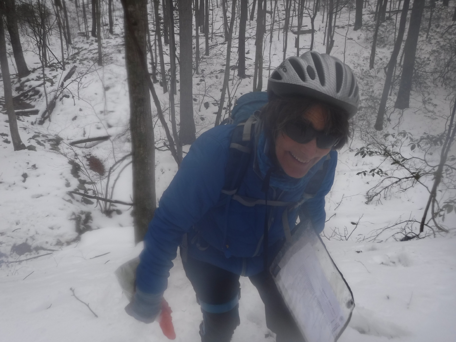
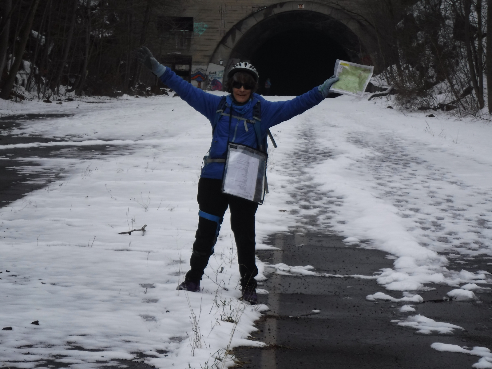
We hung around for a post-start picture with the race directors (l-r) - Sandy, Brent, Abby, and Valerie. Then we were off on our adventure.
Why does Sandy look tall? Oh, she is wearing her bike helmet, which turned out to be a smart move, considering the people who had to backtrack after dropping theirs, or getting hit in the head with it, or both.
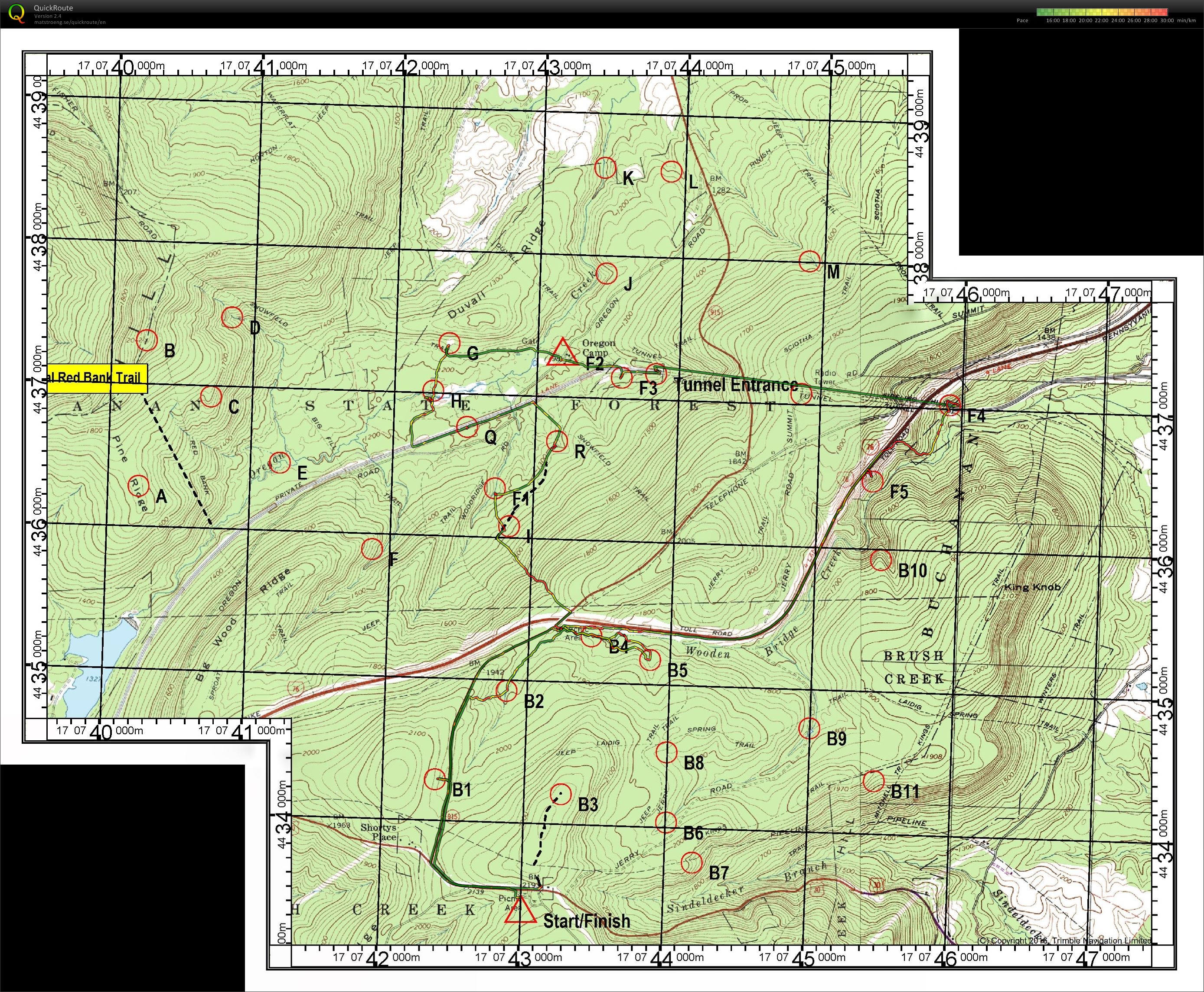
Rogaine race 7:15:31 [3] 13.1 mi (33:15 / mi) +449m 30:03 / mi
[EDIT 03/20 - added the end of my tracks to Sandy's tracks to cover the missing time...]
Results are out, and 2 COOL beat 10 other solos/teams, finishing 28/38 overall. Not too shabby for two creaky old orienteering ladies who average 60+ years.

Note
Route 30 to Route 915, and then off to the left, following the elephant tracks. Lots of teams coming across 915 from B3.

After punching, Sandy helped out Len with the RD phone number so he could call in about his lost punch card. She also pointed out to him that he was about to go off without his compass, which he had put down on the ground. Good deeds done for the day! :)
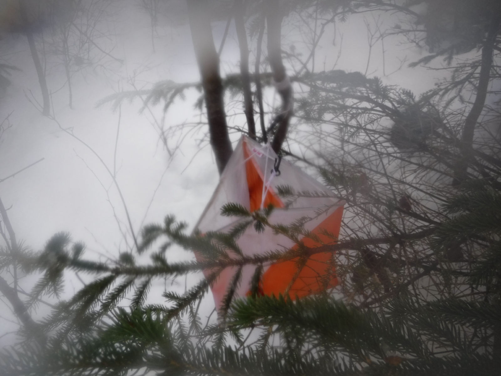
Lots of others coming in and out of this control on the same path.
B1-B2 Stream
It looked like lots of people were taking the stream bed, but we stayed on the road longer, picking up a 2-3 person track and nailing it. Nice to see the people up ahead, just where we were headed.
Note
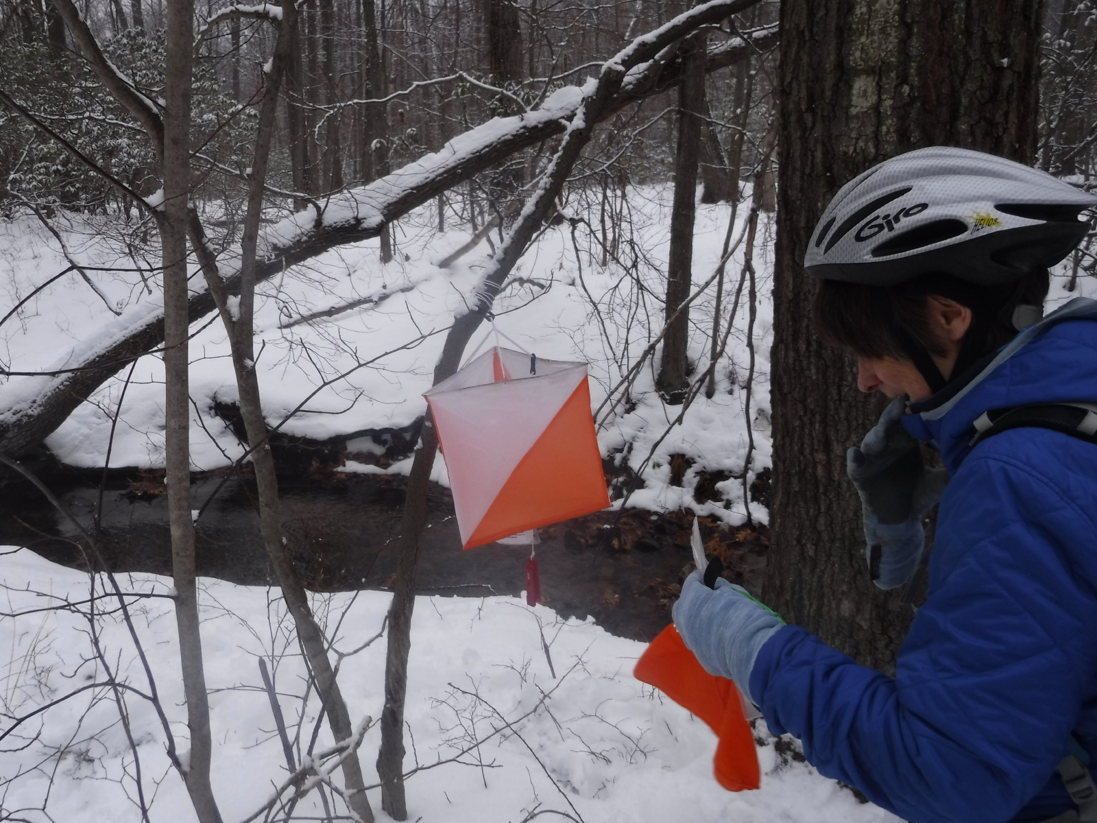
Quite a scrum here as people were going back and forth trying to find this one. We knew we hadn't gone far enough, so we kept going, and then people starting shouting that they found it, so no longer needed to navigate...just get in to punch in tight area.
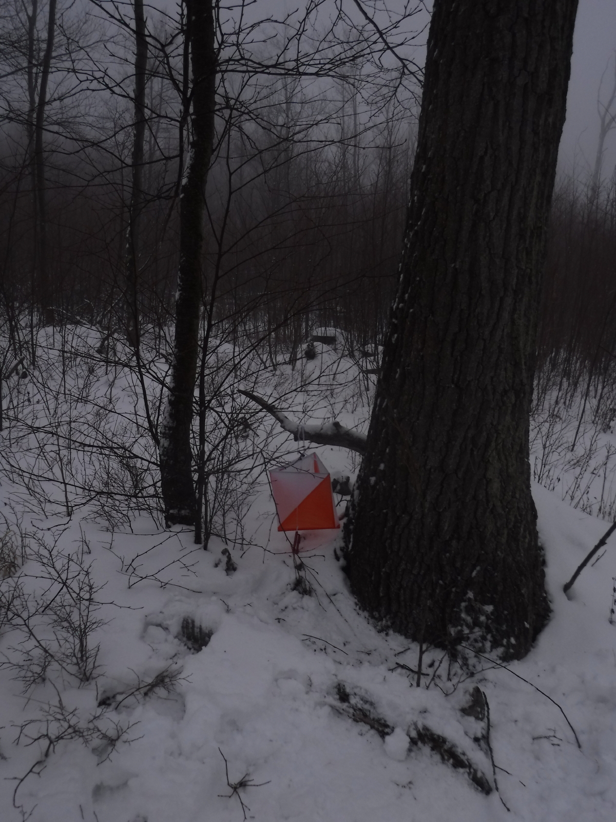
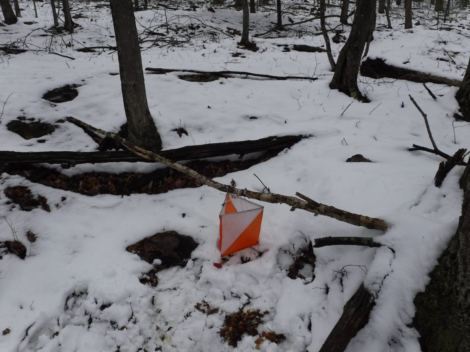
B4-B5 Stream in gully
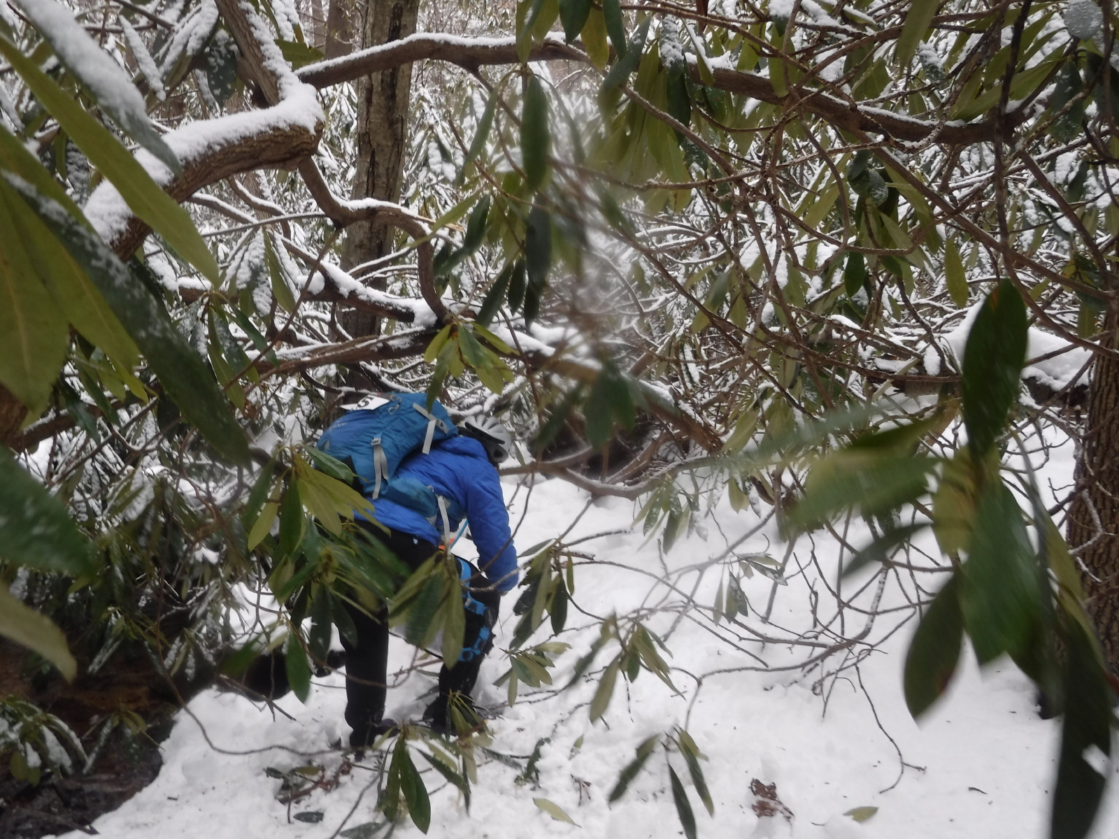
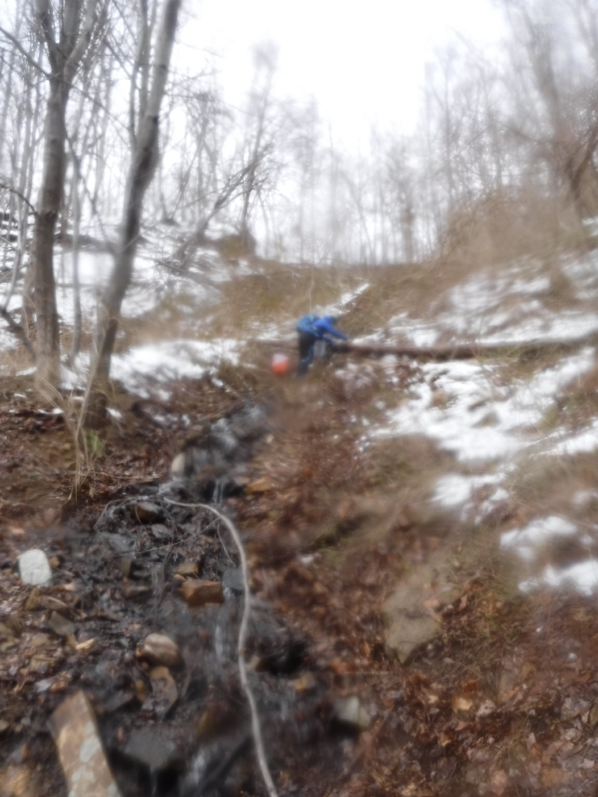
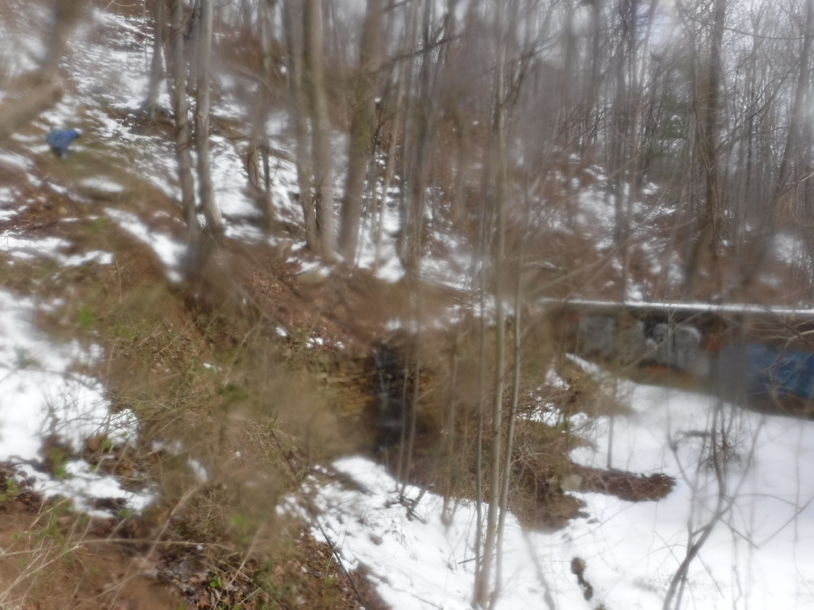
This one wasn't a lot of fun. We came out of B4 and continued on the north side of the stream too long, to the point that we were stopped by the interstate on one side, and a fence surrounded by mountain laurel on the other. We crawled through some ML, me on my hands and knees, and crossed the stream along the fence. I got at least one foot wet. From there, it was a matter of blazing our own trail to the control. Probably happiest with this one because we did it ourselves.
B5-I Inside stand of pine trees
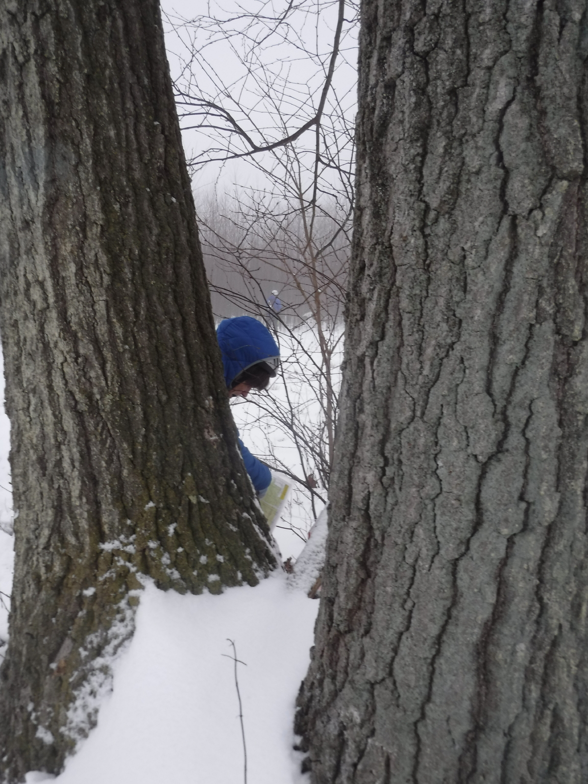
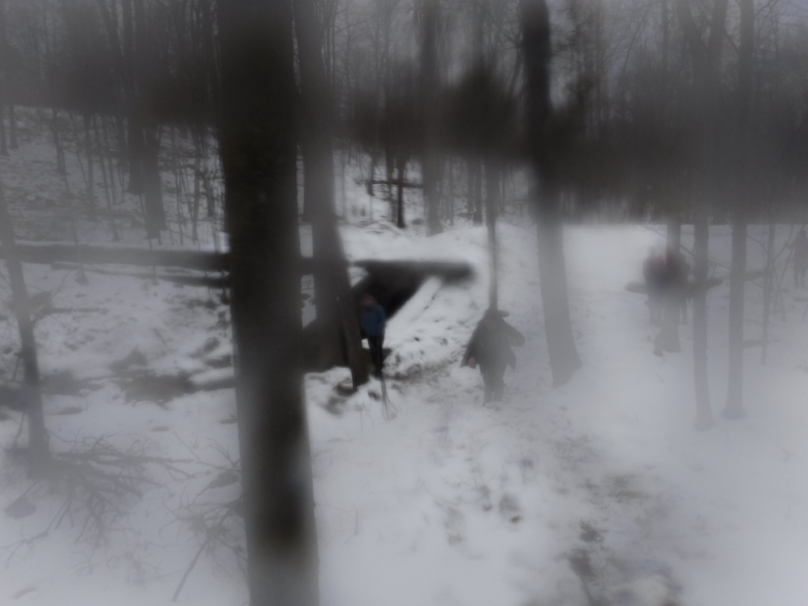
From B5, we followed the huge tracks back past B4, to 915 and over the turnpike. Decided to go straight down the hill instead of going around on trails. It was quite steep and slippery, and it felt like it took forever. I fell twice, jamming my right wrist, and then hitting my knee, but nothing too bad.
We were able to spy the trees from a distance, and it was nice to have something to focus on.
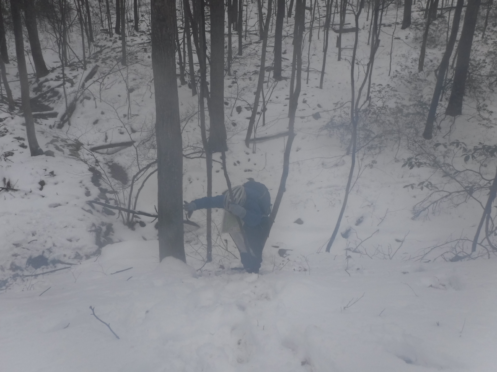
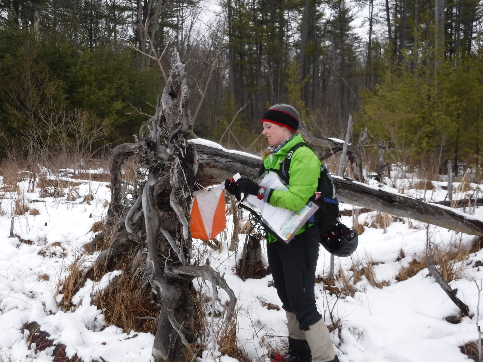
Note
Follow the tracks to the control. Abby was here taking pictures...
and, she dried off my camera for me, before taking this photo. Thanks, Abby!
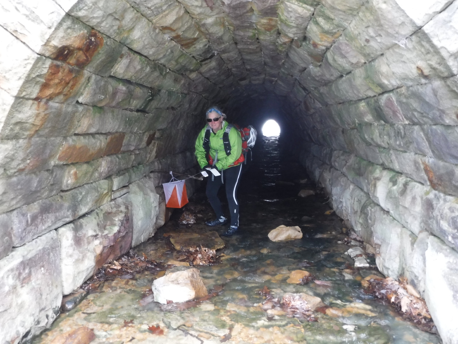
More wet feet...and, this tunnel was a tease, because the control was close to the front, and I could stand up in it...
F1-R Inside tunnel under S. Penn R.R. Trail
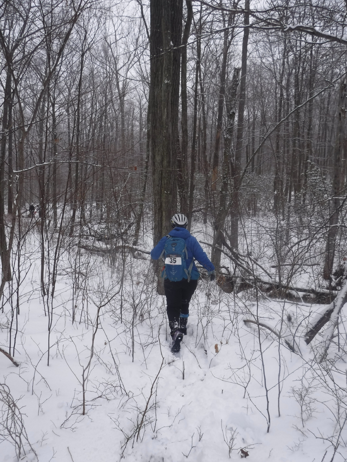
An easy walk along a trail, with Abby and her friend trailing behind us. Sandy and I both went down the steep slope, even though one of us could have stayed at the top, per AR distance apart rules. However, we are orienteers, so there will be (almost) none of that. I took a ride down the slope on my butt, on purpose.
After the last tunnel was so easy, I volunteered for going into this tunnel as well...not so easy...was on my hands and knees, and the rocks were very painful on my knees. I probably should have backed out and taken my pack off, and maybe I could have stooped my way to the control, but I was stubborn, and I continued as is, and it hurt.
Sandy coming back up the slope...
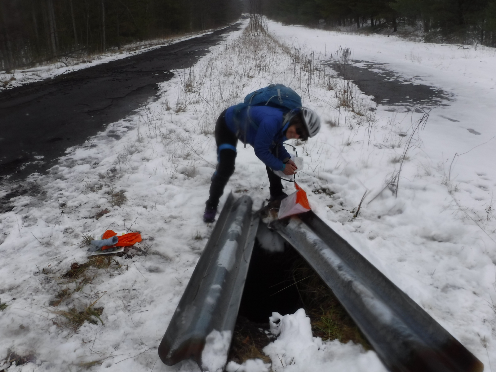
R-Q Drainage access in highway median; hanging underground, under two pieces of guardrail
This was what the elephant trails looked like coming out of R
That is my butt print, not on purpose...
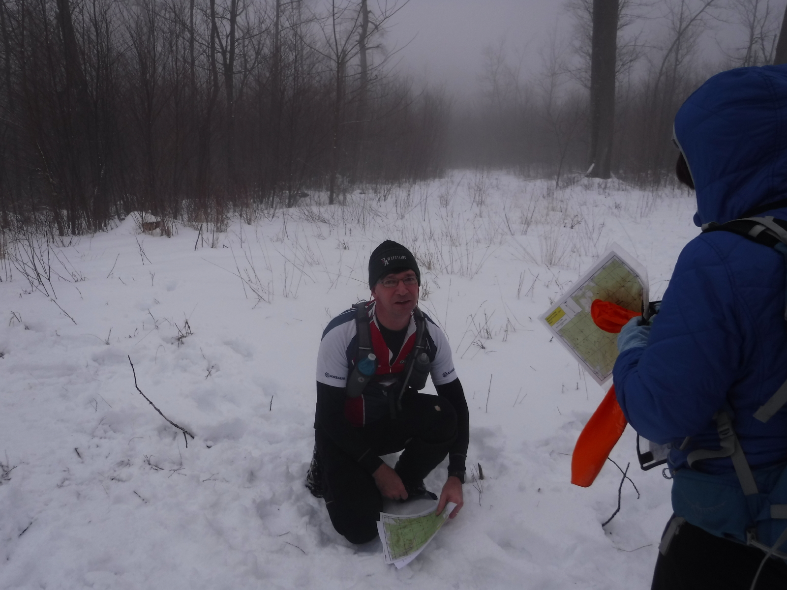
And, Sandy punching it at Q
Note
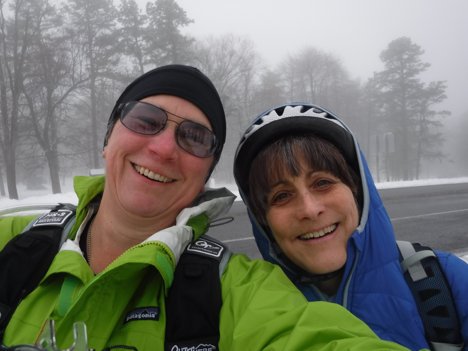
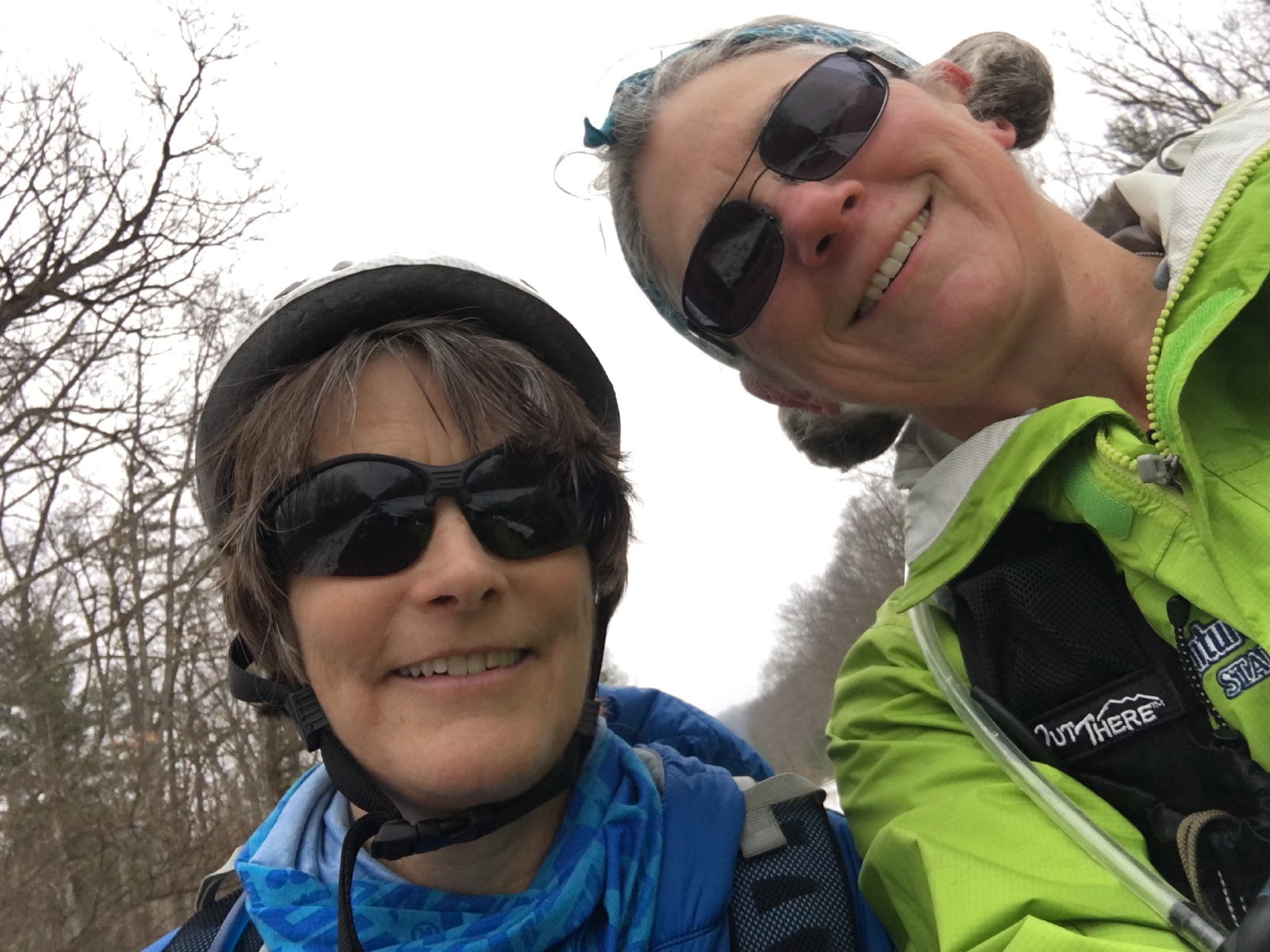
Ran into Clint, who was coming from E. Leaving Q, I broke out my phone to see if Roger had sent a Pepper report, and he had...so, while I had the phone out, I sent Sarah a text update, with Sandy walking away from Q.
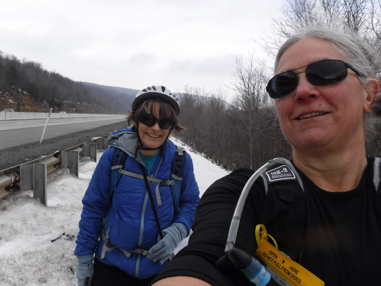
and, then a selfie...
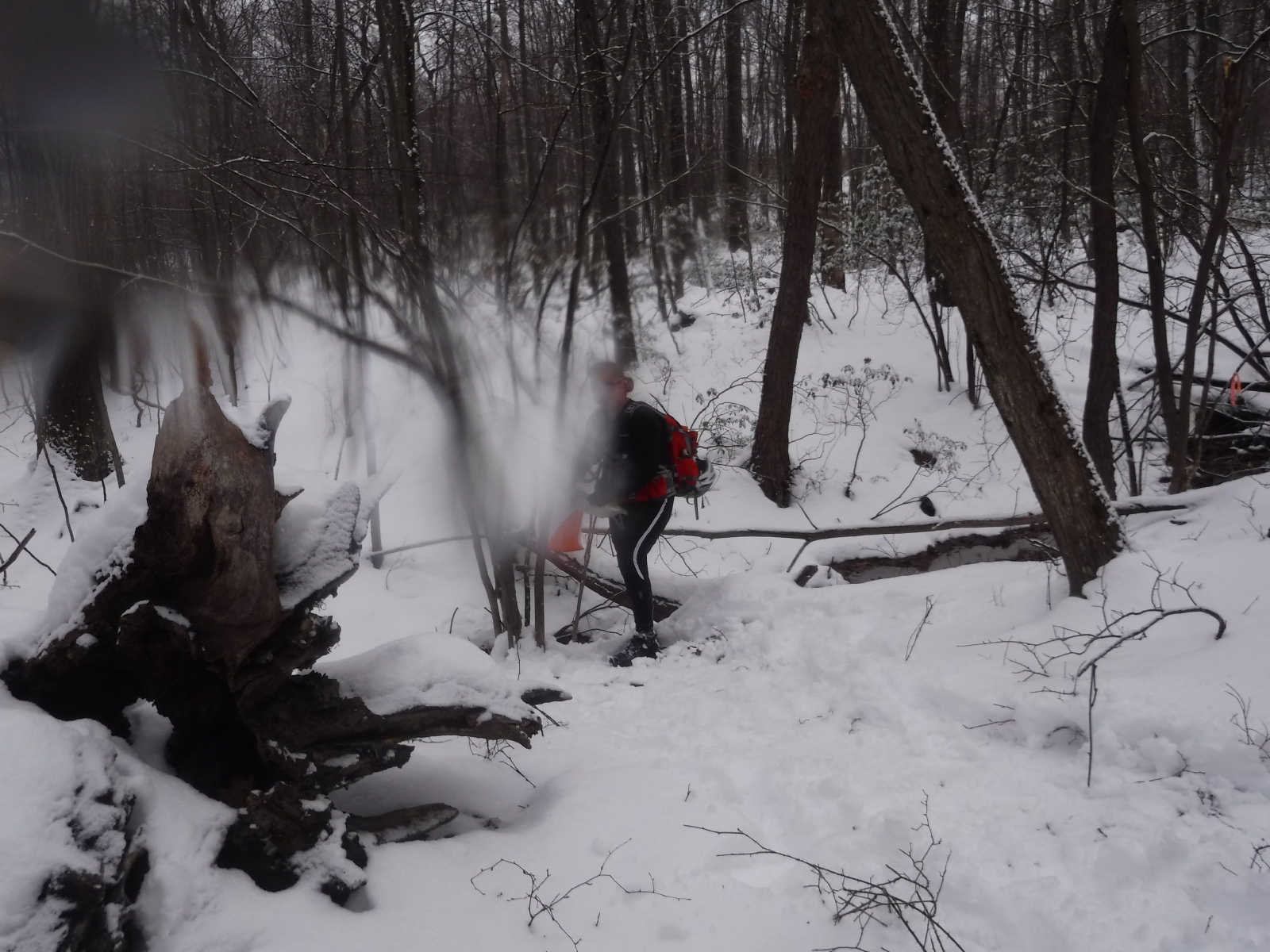
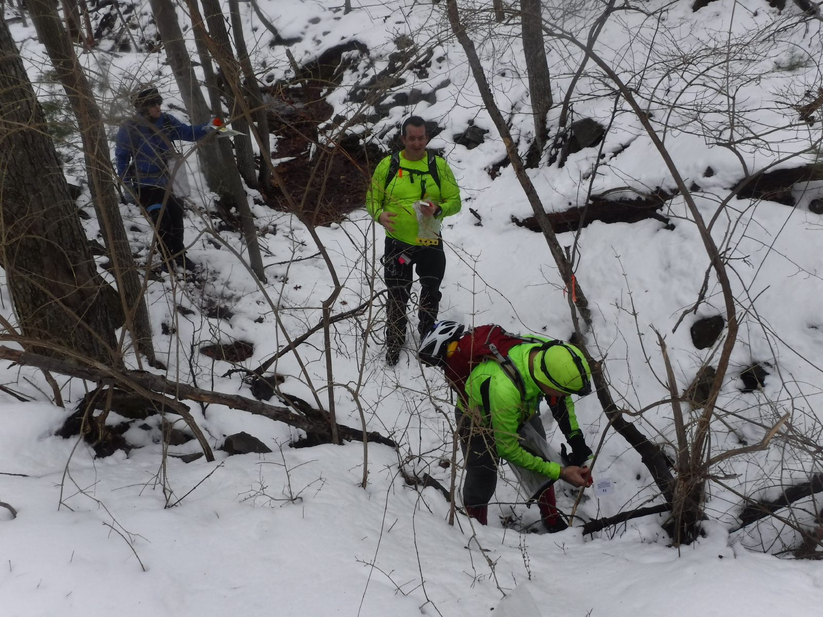
Possibly being distracted by the phone, we walked down the road a bit too far, and then had to make our own way to the area of the control, which was on the other side of a swamp and stream.
It was thorny, wet, and the stream was over knee deep in places. After wandering a bit, and with the woman below coming back towards us after bot finding a place to cross, I said I was going in. Sandy said, oh, no, and then she followed. Now all of our feet were wet for sure, and our pants, too. Oh, well, that's what makes it an adventure, and I pointed out that someone I partnered with in the past would have pulled us across the stream much sooner instead of all this diddling around, which is where we ended up anyway. :)
H-G Depression, NE corner of clearing
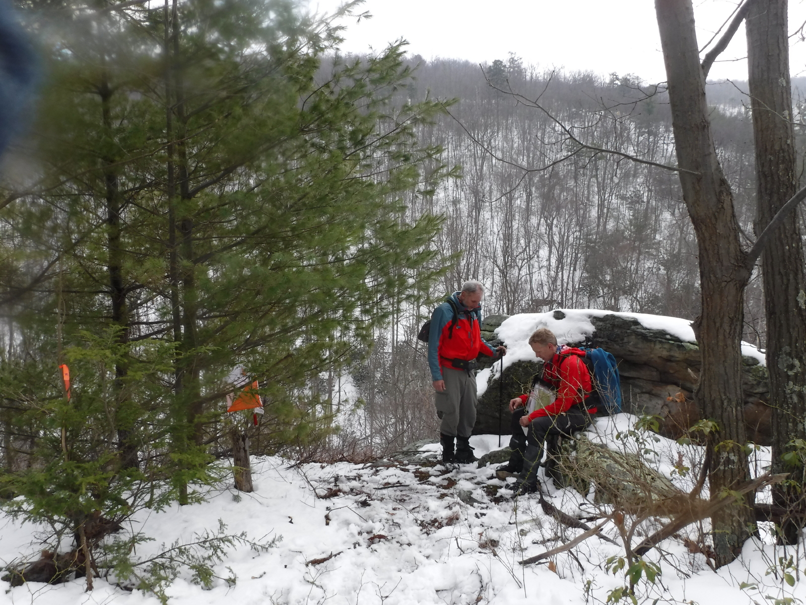
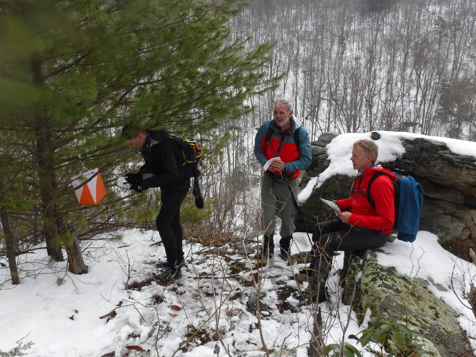
Easy, peasy, especially with these two guys standing there.
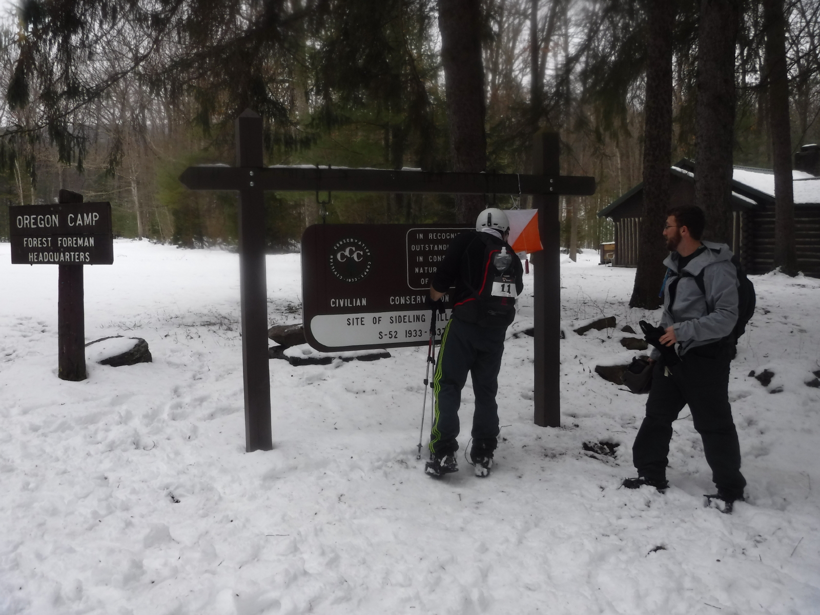
G-F2 (mandatory) Oregon Camp, manned checkpoint (actually, a clipboard)
The two guys from above were planning this complicated route to F2 when Sandy suggested they just follow the big road...which they did. HeHe.
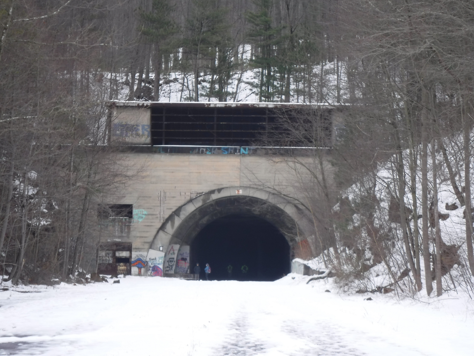
F2-F3 (mandatory) Tunnel entrance, south side
This was a clever control. It was another small tunnel (culvert?), but it was very close to the old turnpike tunnel entrance which we were going to next. I imagine that lots of people went to the big tunnel entrance looking for the flag.
This team punched in there just ahead of us. Though, it turns out that they were a team at all, didn't even know each other, but had hooked up B1, and did the rest of the event together, except that one of them had to go back for B3, because he had skipped it at the beginning, so they didn't tie...
Nice guys.
Note
And, now the much anticipated travel through the old turnpike tunnel...
I was trying to get one of those shots, like holding up the tower, but I didn't...
And, the pictures of the ice formations didn't turn out very well either.
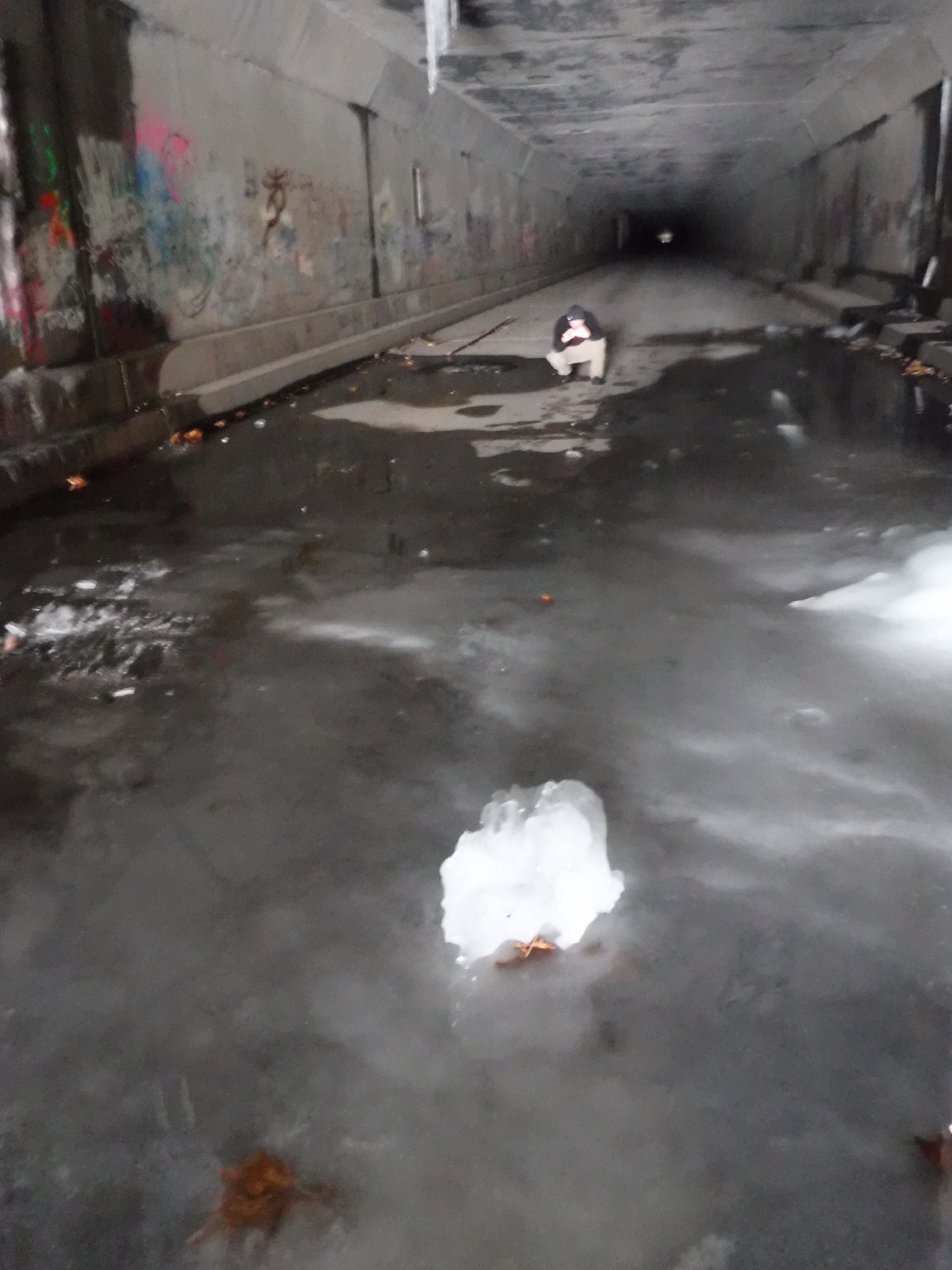
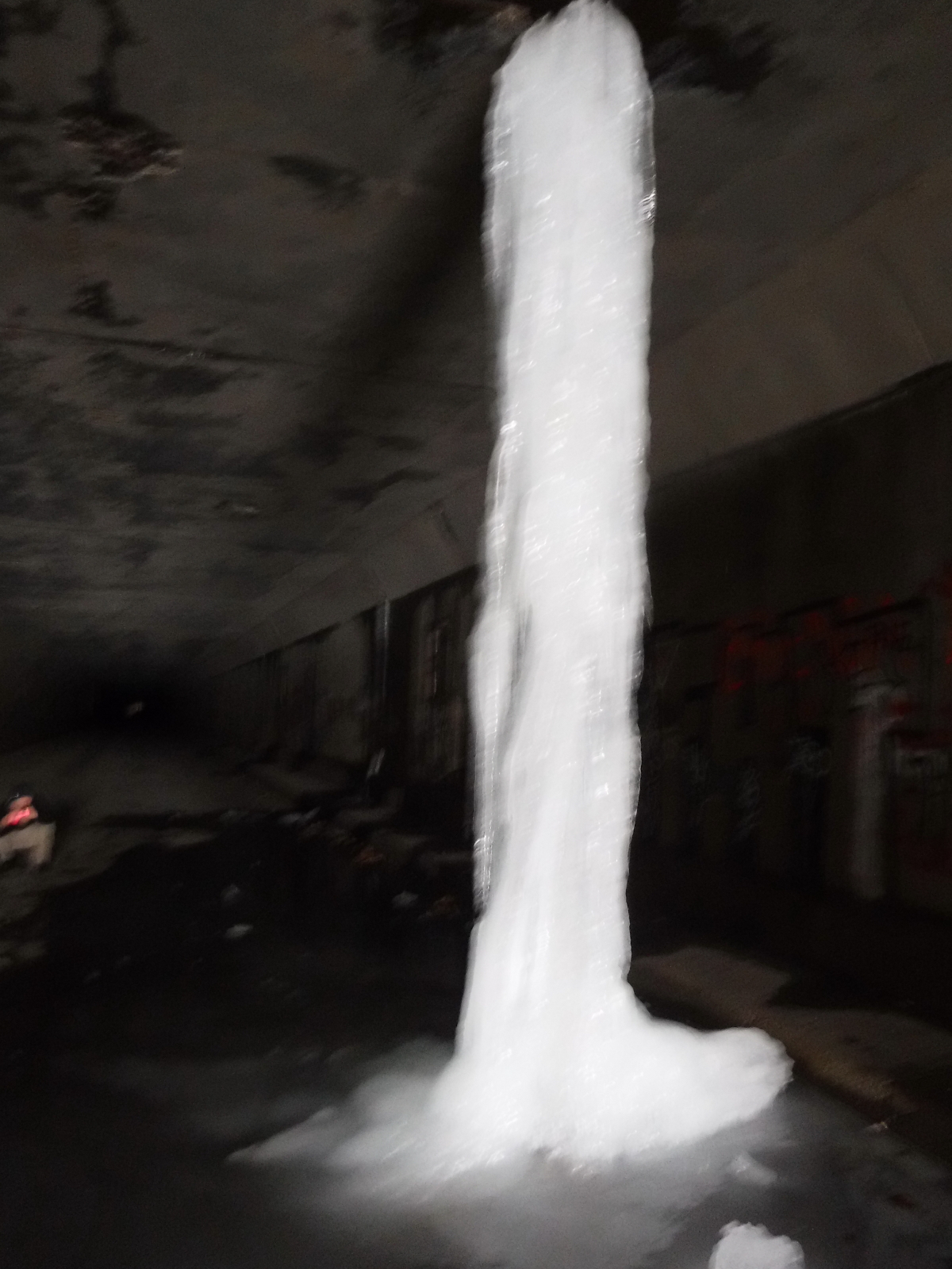
The tunnel was cool in concept, but it was hard, both literally and figuratively. It appeared endless, and Sandy seemed to be a bit low, so I did my best to entertain her with Pepper stories and bad singing and howling. My hips were aching by the time we got to the end, that I was so happy to be back on the soft, snowy, albeit slippery surface. I was cold, and thank goodness Sandy had an extra pair of dry gloves.
My glasses didn't transition back to daylight mode, so it was all pretty blurry without them, or too dark with them on, so that didn't help either.
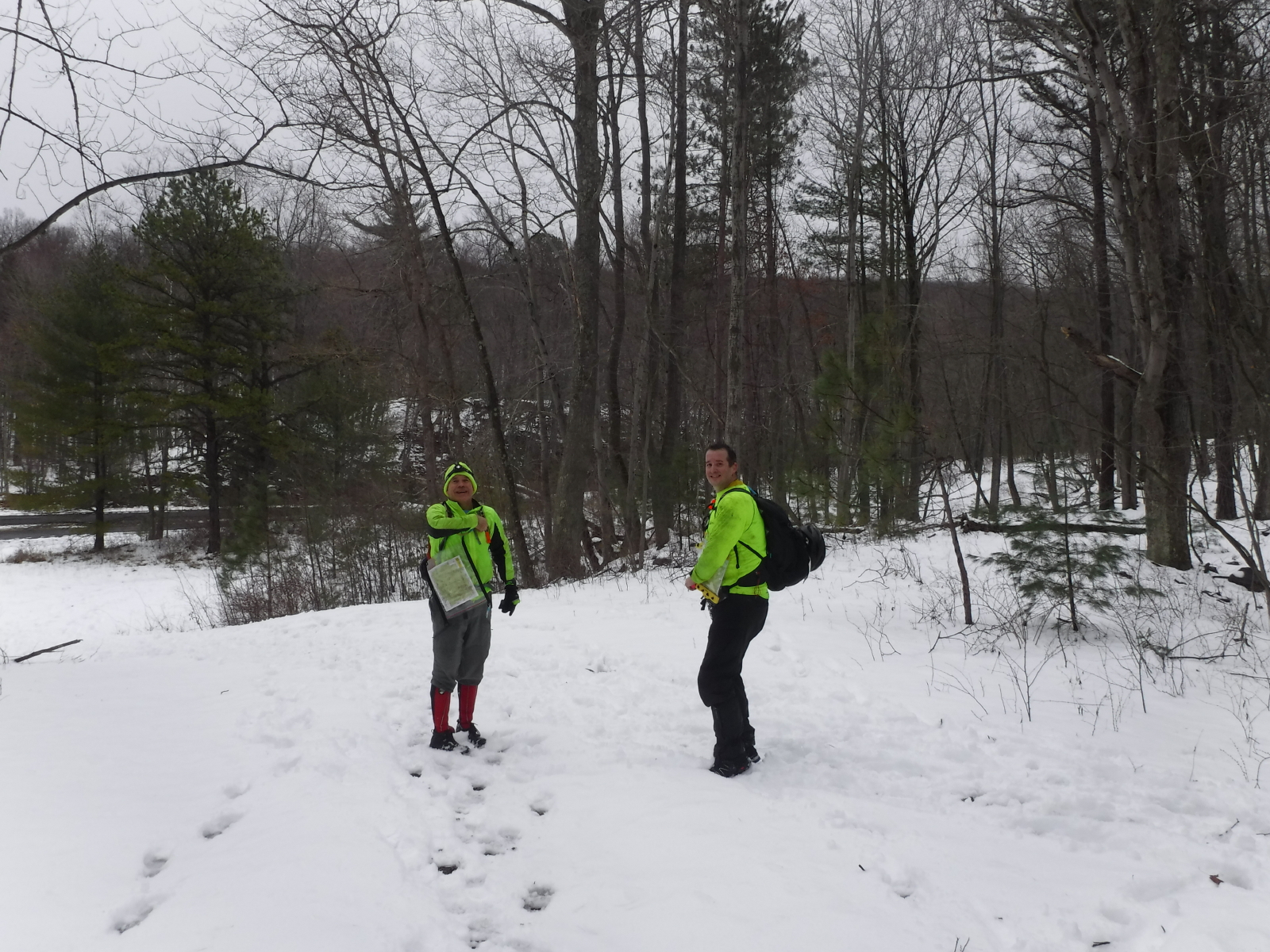
Jeremy came through the tunnel in the opposite direction, and one person passed us, but otherwise we were alone.
Once out, we were given a hint by the lime green non-team guys on where the next control was. Oh, crap. Sandy took one for the team, climbing all of the way to the control, while I went to just below the control and scouted the good way out. This was a scary control. Thank you, Sandy!
We stayed high and went across the tunnel entrance, while the others climbed all the way down, only to have to climb back up the other side. Felt quite smug about getting that right.
Note
Sandy says in her log that she suggested climbing to the turnpike out of F4, in order to travel along it to F5. I don't remember hearing her say this, but I wish I had...
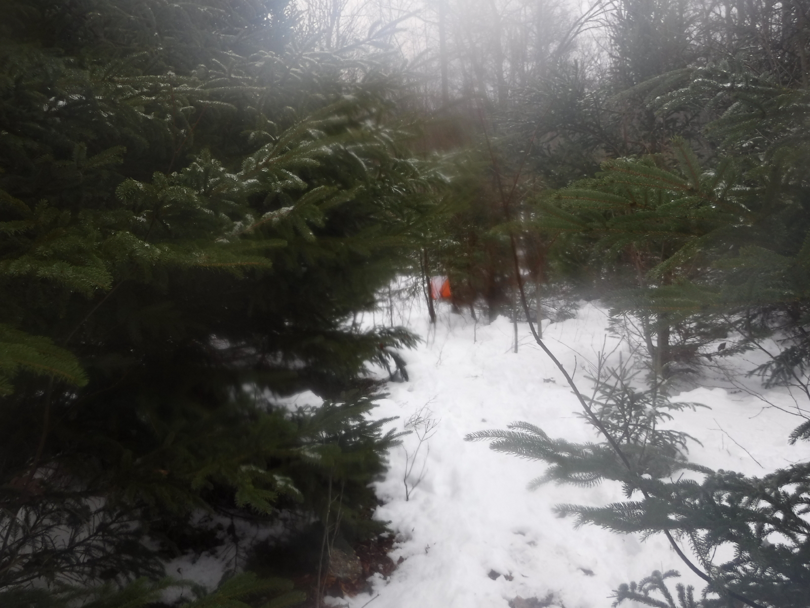
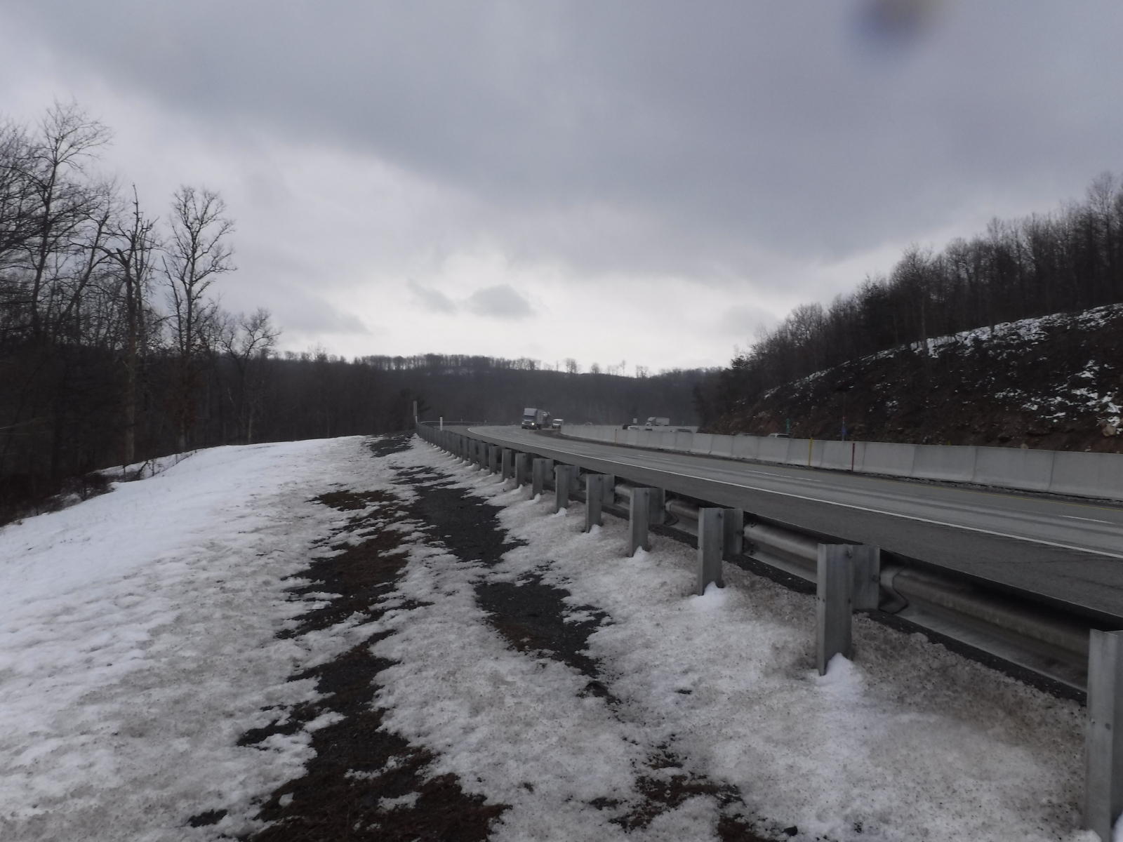
The route from F4-F5 was miserable, or an adventure, or a miserable adventure, any or all of those throughout. It was steep and rocky, with lots of dead fall low, and we should have tackled it with a different mindset perhaps. The people traveling around us thought it was on the big spur we were climbing, but we knew that it wasn't. Finally, after getting mostly to the top of the big spur, we decided to continue to the turnpike, and we walked along there until it was time to cut into F5. Footprints and an opening in the fence were helpful here.
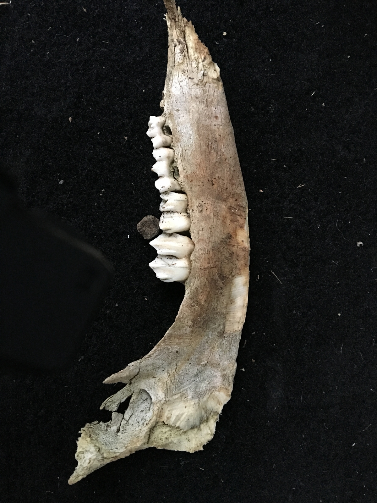
While I was climbing the hill on my hands and knees, I picked up this jaw bone for Amy.
Note
...though, we managed to have smiles on our faces at least one more time.
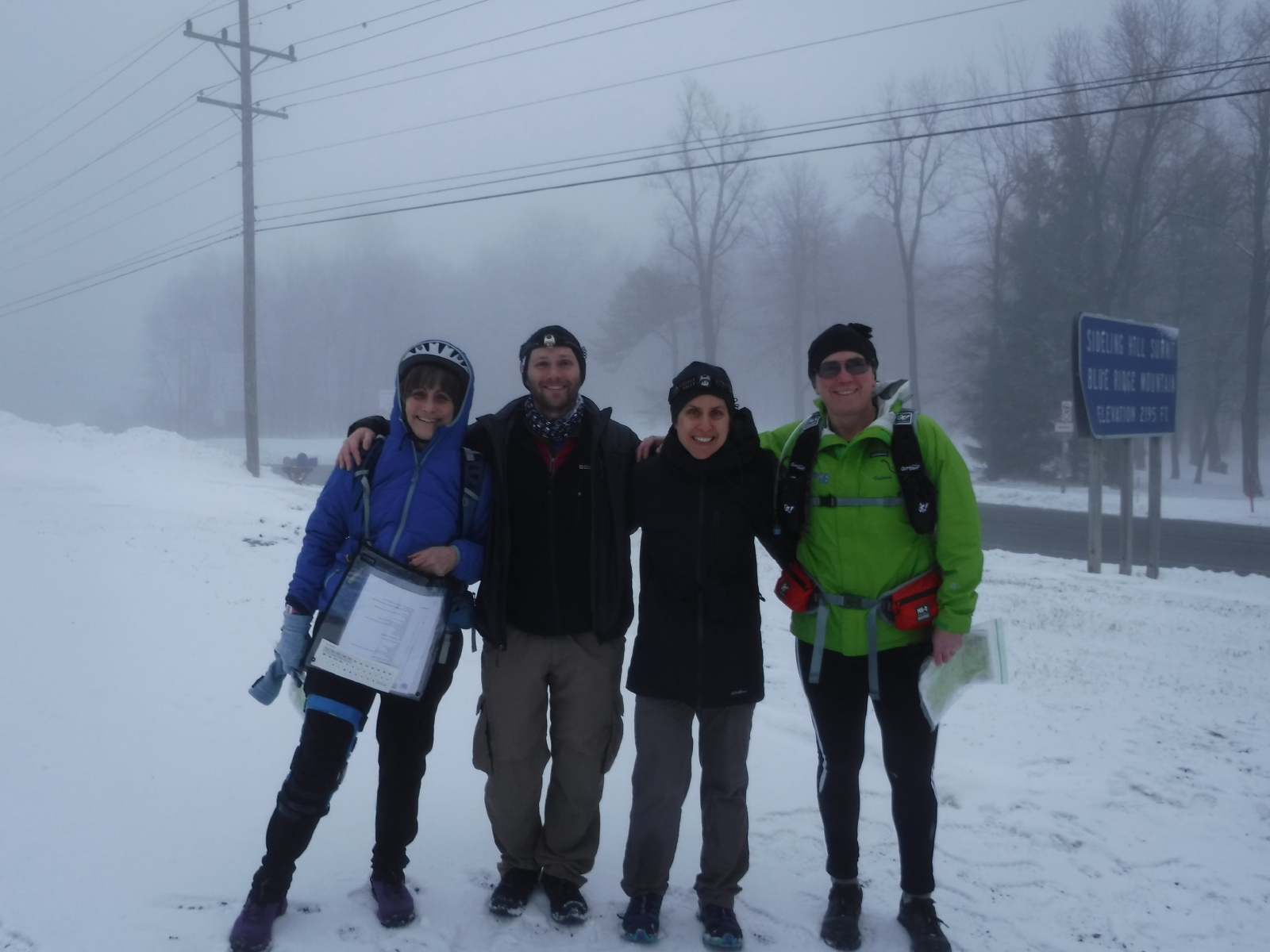
Into the finish with time to spare, and since we didn't get arrested for walking along the turnpike, it must have been legal, right? :)
Note
I drank about 2 liters of water, and ate 1/2 peanut butter sandwich, 2 gels, and two gel blocks thingees, which I like the best, especially pomegranate.
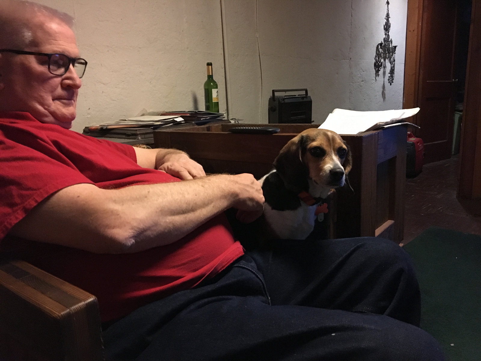
After, I rammed down more than my fair share of cheese pizza (four slices), changed my clothes, and headed home to Roger and Pepper...
But, first, I zoned out looking at the 70W sign instead of 70E, and ended up on the turnpike to Bedford, adding 30 miles and two tolls to the trip. Agh! The only black eye on the day.
Friday Mar 17, 2017 #
Peppering 19:20 [1] 1.92 mi (10:04 / mi) +18m 9:48 / mi
ahr:83 max:95
Took the day off to print maps and have a riding lesson. Had to drop into work to pick something up and after parked about a mile away from the credit union and pet store and walked to and fro with Pepper.
Misc (Horse) 1 [1] 2.14 mi ( / mi) +19m / mi
ahr:91 max:164
Thursday Mar 16, 2017 #
Peppering 16:10 [1] 1.61 mi (10:02 / mi) +78m 8:44 / mi
ahr:96 max:132
Pepper and I saw the fox! Thank goodness the ruffwear harness arrived today. It is more substantial than the puppia one, which is lighterweight/cooler, but I was afeard that it would not hold Pepper when put to the test.
Wednesday Mar 15, 2017 #
Peppering 13:00 [1] 1.29 mi (10:05 / mi) +55m 8:54 / mi
ahr:96 max:132
Into the woods...the only place where we weren't being blown sideways. Pepper was slipping and sliding, which was very cute on the downhills, but I was rocking the ice bugs.
Tuesday Mar 14, 2017 #
Peppering 23:00 [1] 2.27 mi (10:08 / mi) +88m 9:03 / mi
ahr:107 max:201 weight:194lbs
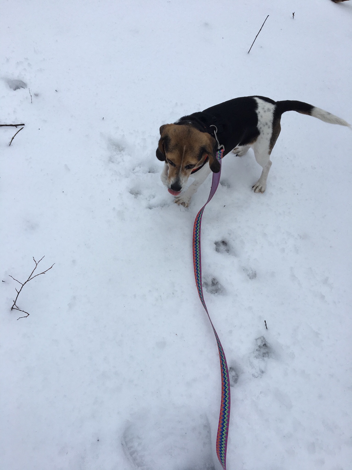
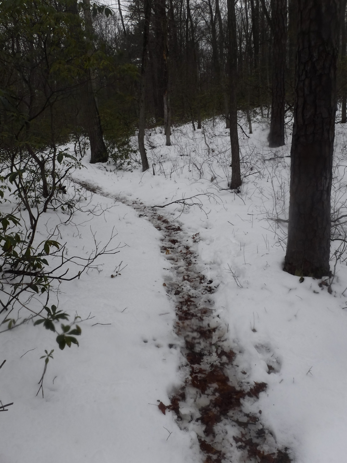
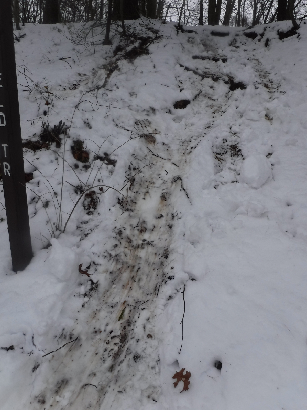
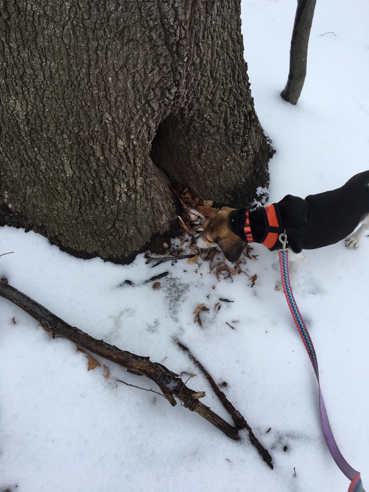
Snow day!!! After Pepper tried to pull me into the woods in my pjs, I figured she was over her tummy issues, so I changed and out we went. Crooked Compass training!! Hit up the dog park for a few minutes as well. Check out the tracks.
Is the control in there, Pepper?
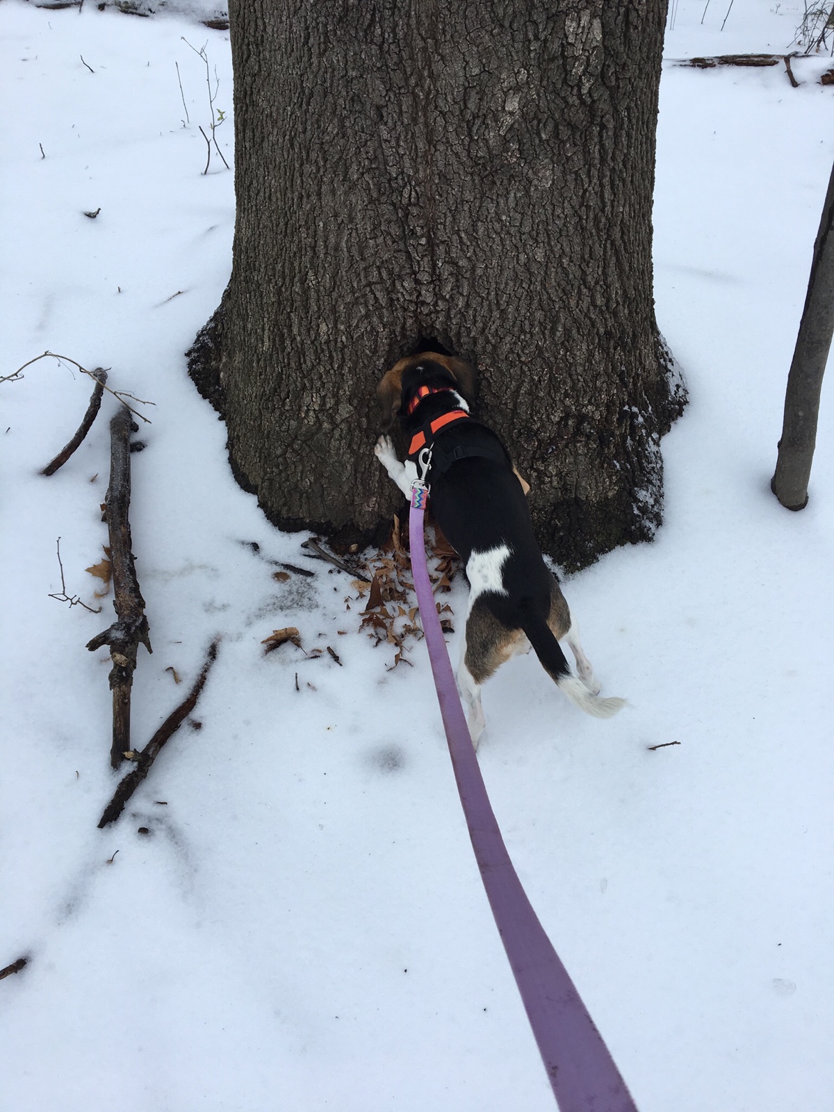
Nope, I guess not...
Despite the body language, she loved the snow.