Training Log Archive: vmeyerIn the 1 days ending Apr 12, 2017:
| ||||||||||||||||||||||||||||||||||||||||
| « | » |
| » now | ||||
| We |
Wednesday Apr 12, 2017 #
9 AM
Orienteering race (Te Mata Take 2) 1:47:12 [3] *** 4.21 mi (25:28 / mi) +341m 20:21 / mi
ahr:121 max:158
Another early wake up...at least the sun rise was pretty...one was taken with my Fuji camera and the other with the iphone.


Hawkes Bay Orienteering Club has permanent courses at the same park where I orienteered on Sunday, so I decided to give it another go.
My hostess, Jane, printed me a map, while I download the iOrienteering app, and off I went, again driving myself, which, btw, was one of my goals for this trip.
I made to the park safely, and after checking this wonderful the map to make sure I was in the correct location, I got geared up to go.

When I was ready, and after scanning the QR code on the map to pick a course, I also scanned the one to start...

off I went across the road to the trail. Oops.

Back on track, I headed to #1, scanned the code, and continued on.

At that point I realized that I hadn’t even stopped to look at the view, so I turned around and went back to the scenic view for a look at the scenic view...


I carefully made my way around the course, learning from Sunday and taking tracks (trails) whenever possible.
On the way to 2


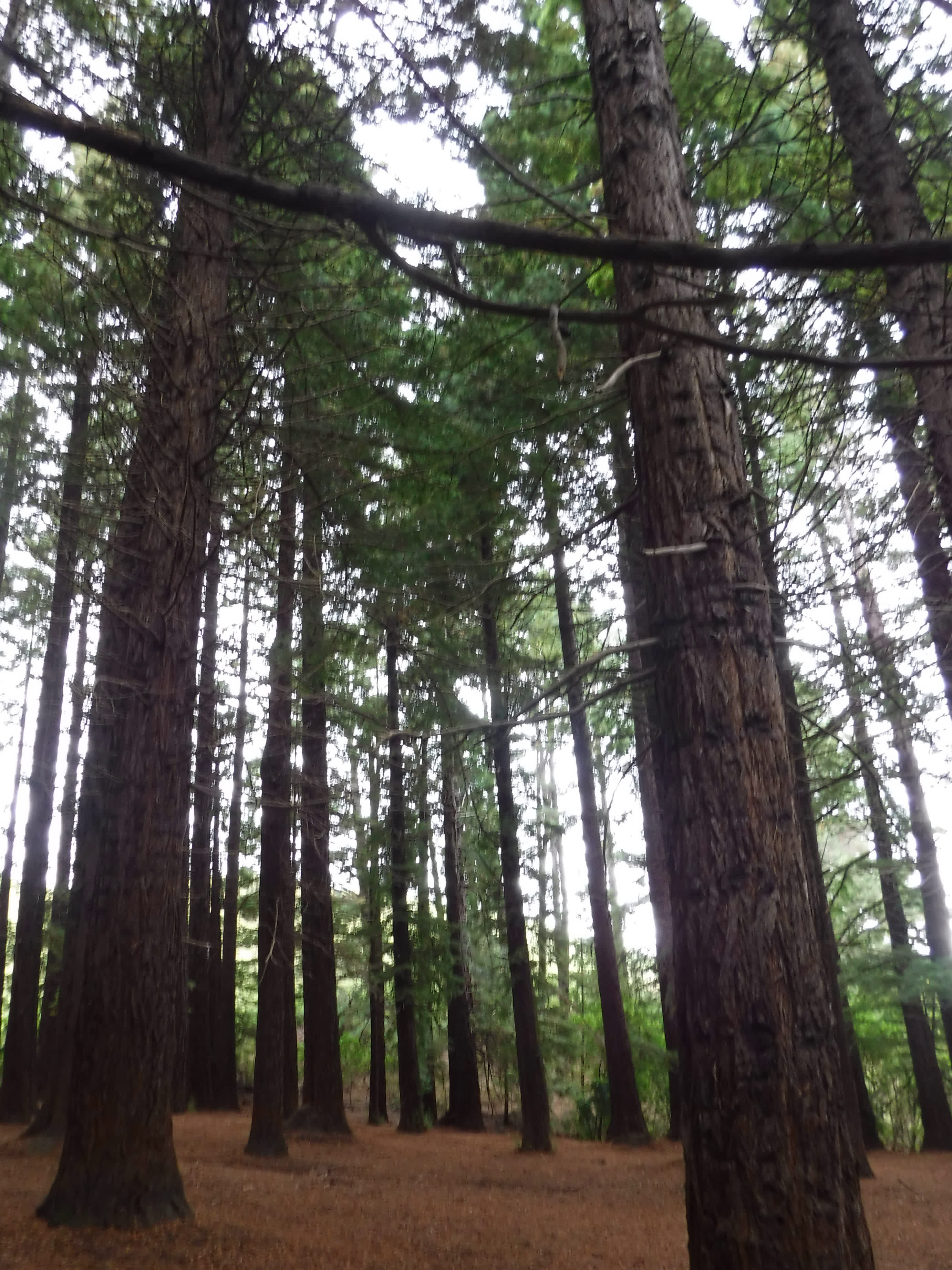
The 3rd control was in the pretty area of redwoods, where we started on Sunday.

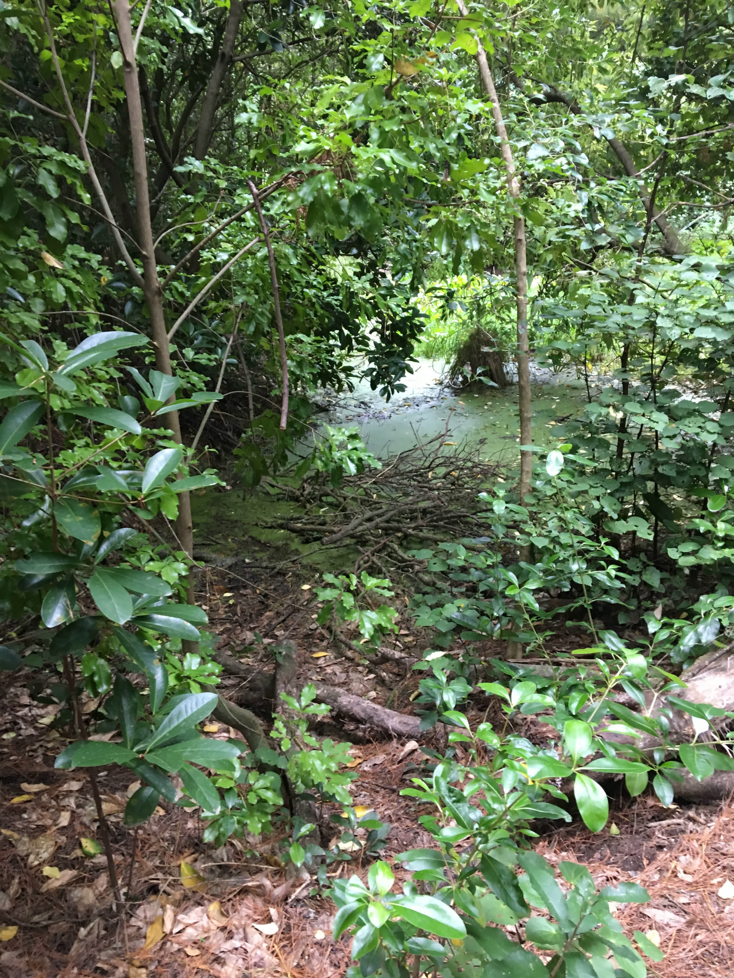
Today, I was able to find the pond I had been looking for on Sunday once I had drifted that way anyway that day...
Anyway, I was moving along, happily finding controls, scanning them with my phone and taking pictures along the way…


Control #6

Then the messiness started…

I punched/scanned #7, but the phone was freezing up, and it was a struggle to get the scan. I thought it and gone through, but when I got to #8, I got the message that it was the incorrect control.
Not wanting to DNF a second time on this map, I decided to go back to #7 and scan again. However, I got confused in the maze of tracks coming from the other direction, and it took a while to sort myself back out. Finally, I got back to #7, scanned again, and then it was back to #8, having no problems getting there the second time. In all, the mis-scan cost me 22 minutes.
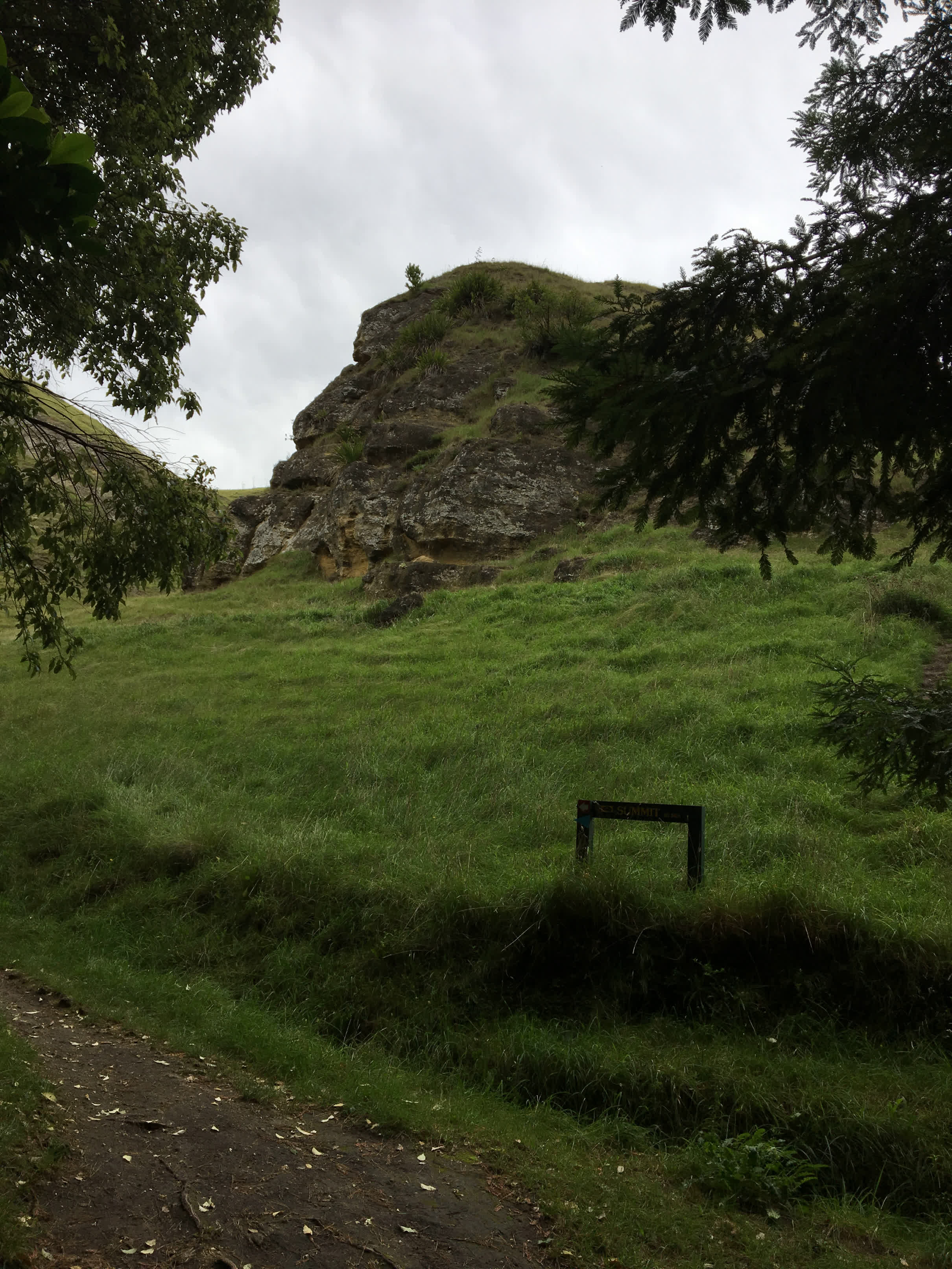
I was feeling good though, so I soldiered on, enjoying the scenery along the way. Until, that is, I got to #9, where I stubbornly looked for the single tree NE at the end of the one track, when it was actually up on the next track, where the circle was situated, but not the tree.
View out of #9.

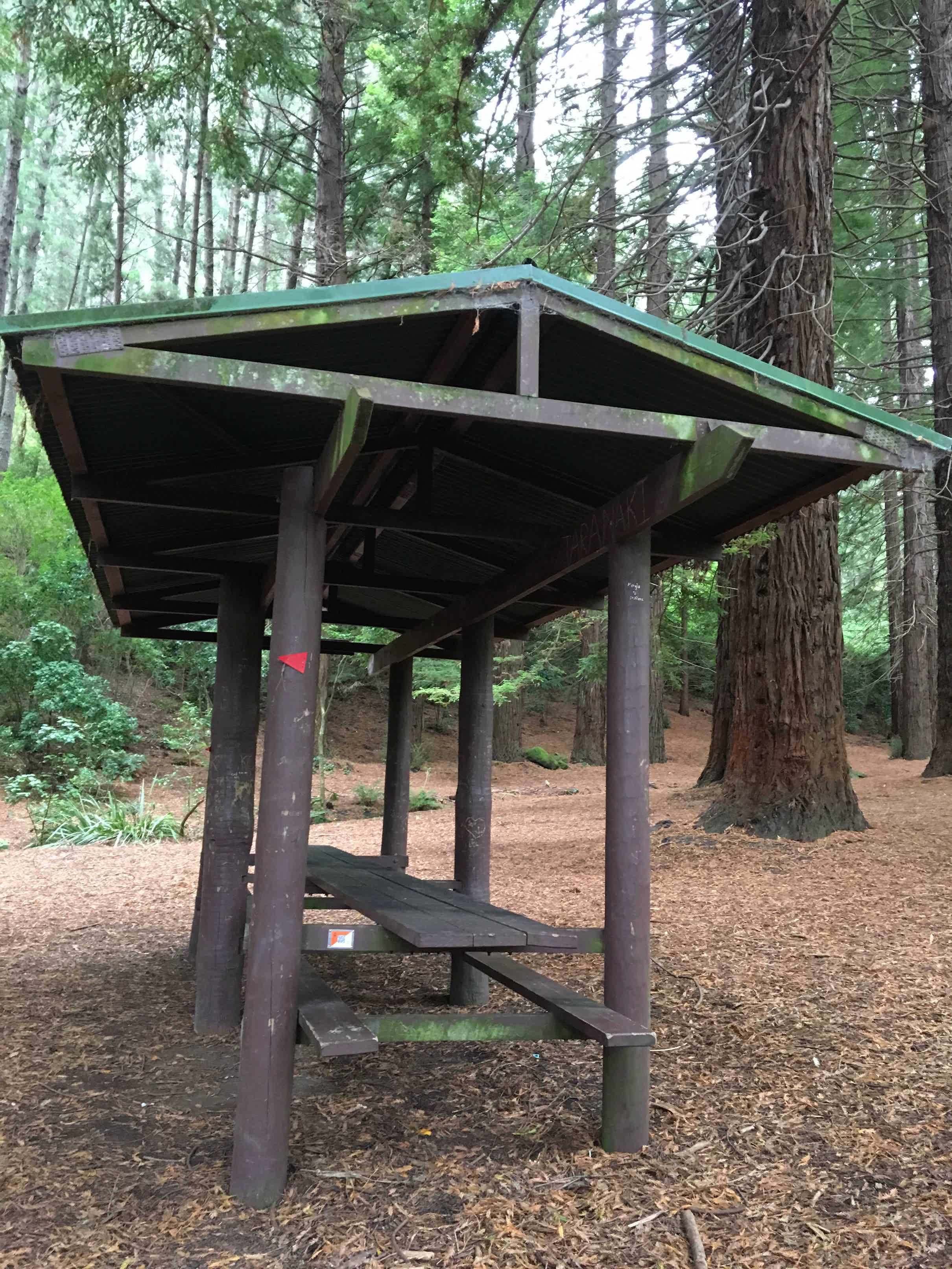
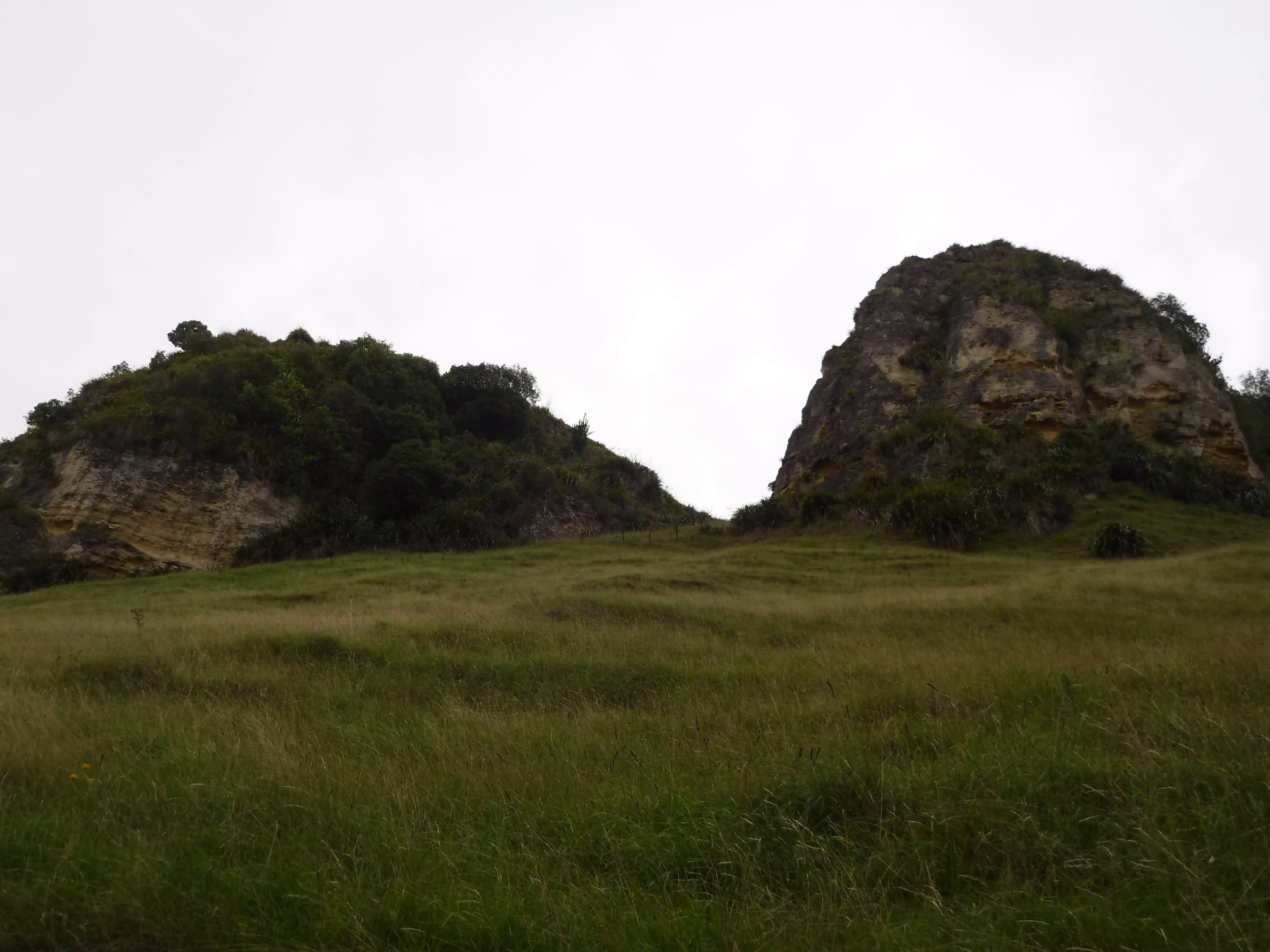
Control #10 and surrounding area


I carried on, with just one more little hiccup back through the area of #7 when going to #10, passing that way for the third time, and then I was done.

Hawkes Bay Orienteering Club has permanent courses at the same park where I orienteered on Sunday, so I decided to give it another go.
My hostess, Jane, printed me a map, while I download the iOrienteering app, and off I went, again driving myself, which, btw, was one of my goals for this trip.
I made to the park safely, and after checking this wonderful the map to make sure I was in the correct location, I got geared up to go.
When I was ready, and after scanning the QR code on the map to pick a course, I also scanned the one to start...
off I went across the road to the trail. Oops.
Back on track, I headed to #1, scanned the code, and continued on.
At that point I realized that I hadn’t even stopped to look at the view, so I turned around and went back to the scenic view for a look at the scenic view...
I carefully made my way around the course, learning from Sunday and taking tracks (trails) whenever possible.
On the way to 2
The 3rd control was in the pretty area of redwoods, where we started on Sunday.
Today, I was able to find the pond I had been looking for on Sunday once I had drifted that way anyway that day...
Anyway, I was moving along, happily finding controls, scanning them with my phone and taking pictures along the way…
Control #6
Then the messiness started…
I punched/scanned #7, but the phone was freezing up, and it was a struggle to get the scan. I thought it and gone through, but when I got to #8, I got the message that it was the incorrect control.
Not wanting to DNF a second time on this map, I decided to go back to #7 and scan again. However, I got confused in the maze of tracks coming from the other direction, and it took a while to sort myself back out. Finally, I got back to #7, scanned again, and then it was back to #8, having no problems getting there the second time. In all, the mis-scan cost me 22 minutes.
I was feeling good though, so I soldiered on, enjoying the scenery along the way. Until, that is, I got to #9, where I stubbornly looked for the single tree NE at the end of the one track, when it was actually up on the next track, where the circle was situated, but not the tree.
View out of #9.
Control #10 and surrounding area
I carried on, with just one more little hiccup back through the area of #7 when going to #10, passing that way for the third time, and then I was done.
12 PM
Note
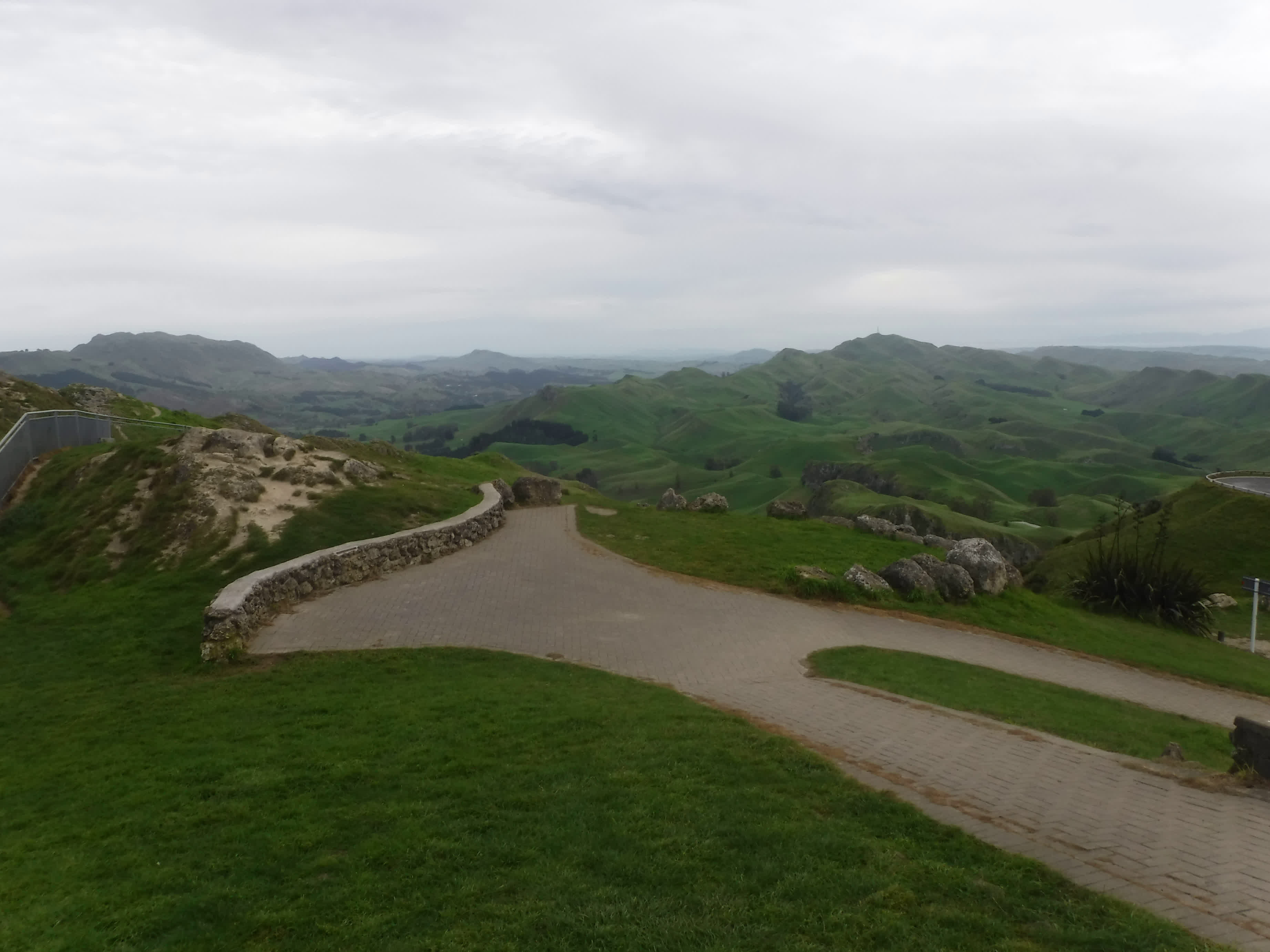
Then I drove to Te Mata Peak...I didn't quite get the review which stated something about it was great once you got to the top. It seemed like the road took you right to the top, and so it wasn't anything strenuous after that...turns out that the reviewer was talking about the drive up, on the one way road with hairpin turns...no drive to Pike's Peak, but a little hairy. Luckily, only one car came down while I was going up, and then there was none when I drove back down.

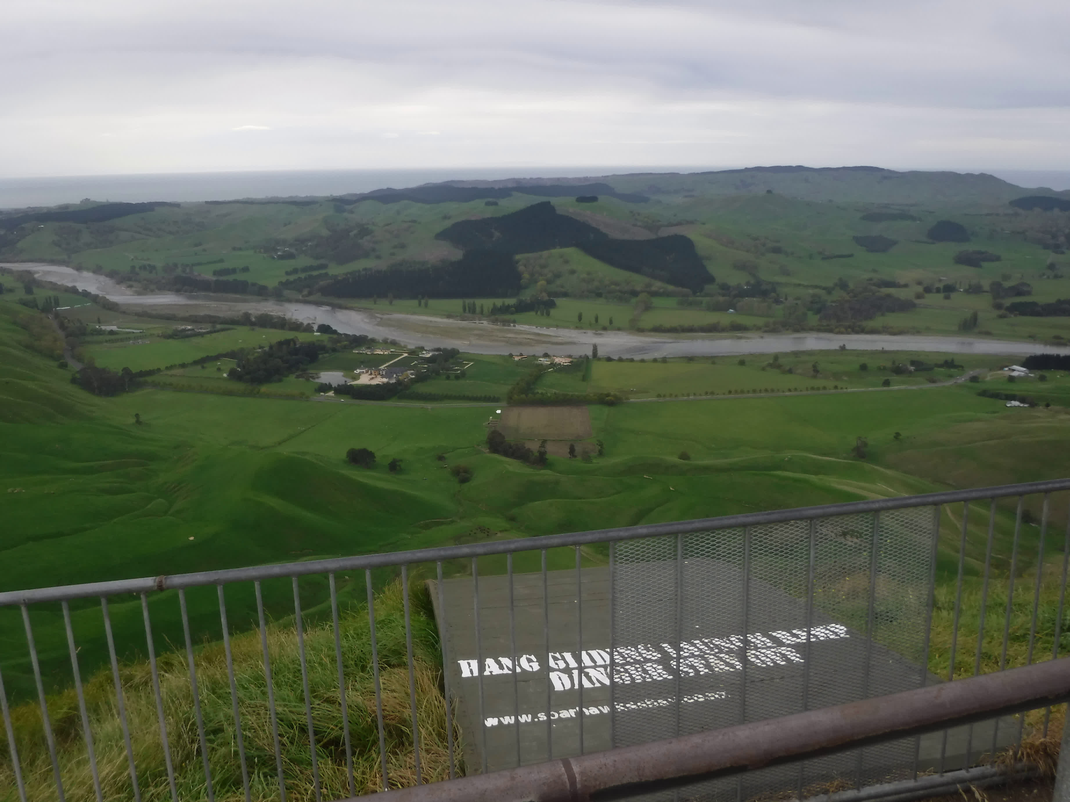


You can see the top part of the road in the picture...

You can see the top part of the road in the picture...
6 PM
Note
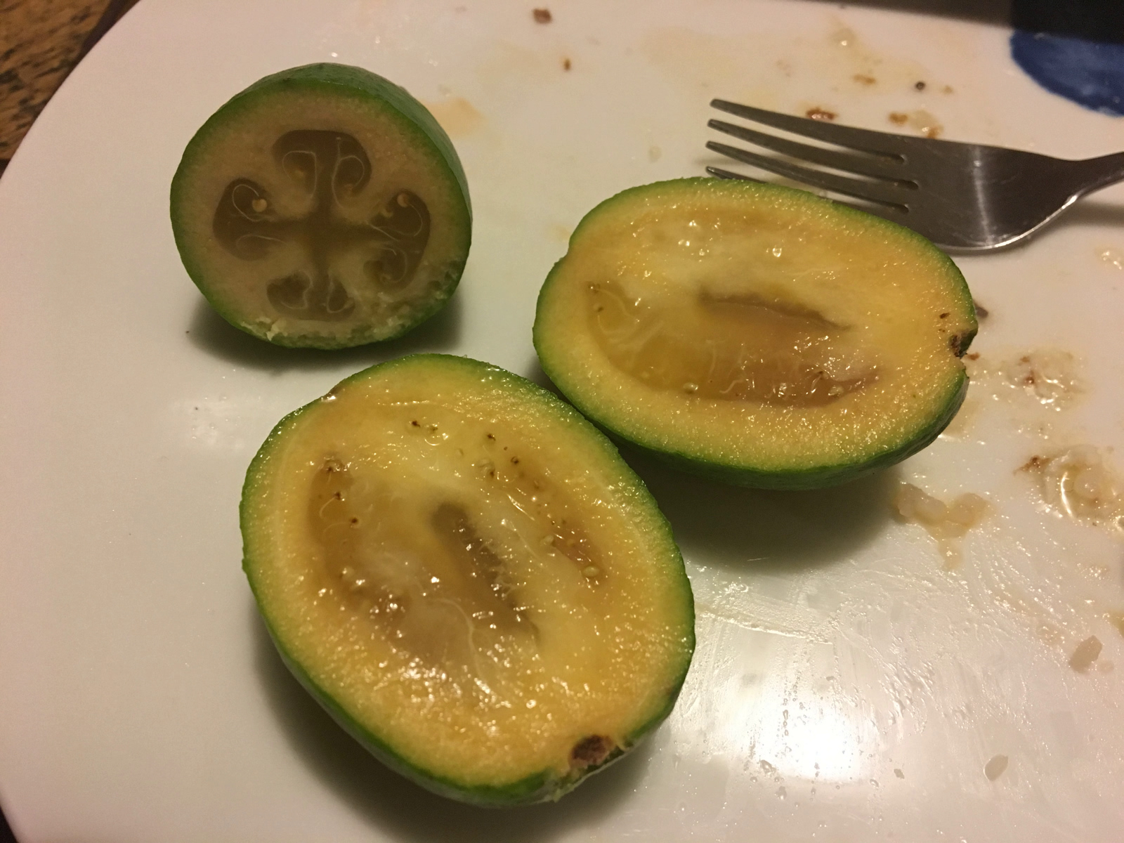
After tea this evening, I was introduced to feijoa. I didn't really like them, but I did have fun playing with my food.