Training Log Archive: NadimIn the 1 days ending Jun 25, 2017:
| |||||||||||||||||||||||||||||||||||||||||||||||||||||||||||||||||||||||||||||||
| « | » |
| » now | ||||
| Su |
Sunday Jun 25, 2017 #
10 AM
Running warm up/down (Street & Trail) 12:29 [2] 1.11 mi (11:15 / mi) +60m 9:38 / mi
slept:6.5
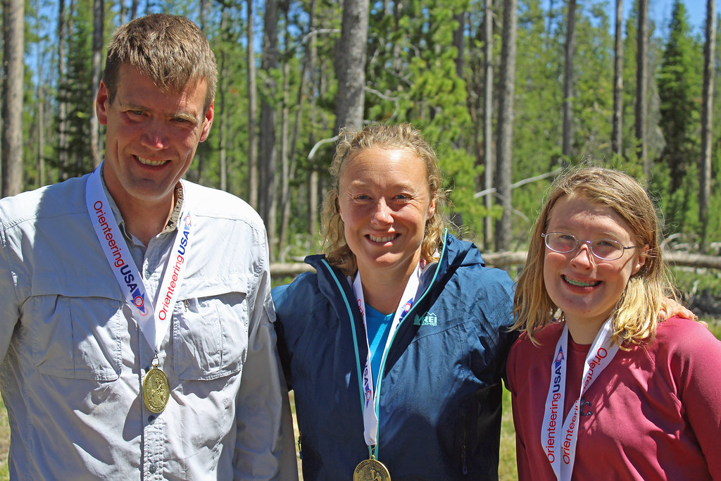
From the parking area to the start of the US Middle Distance Championships.
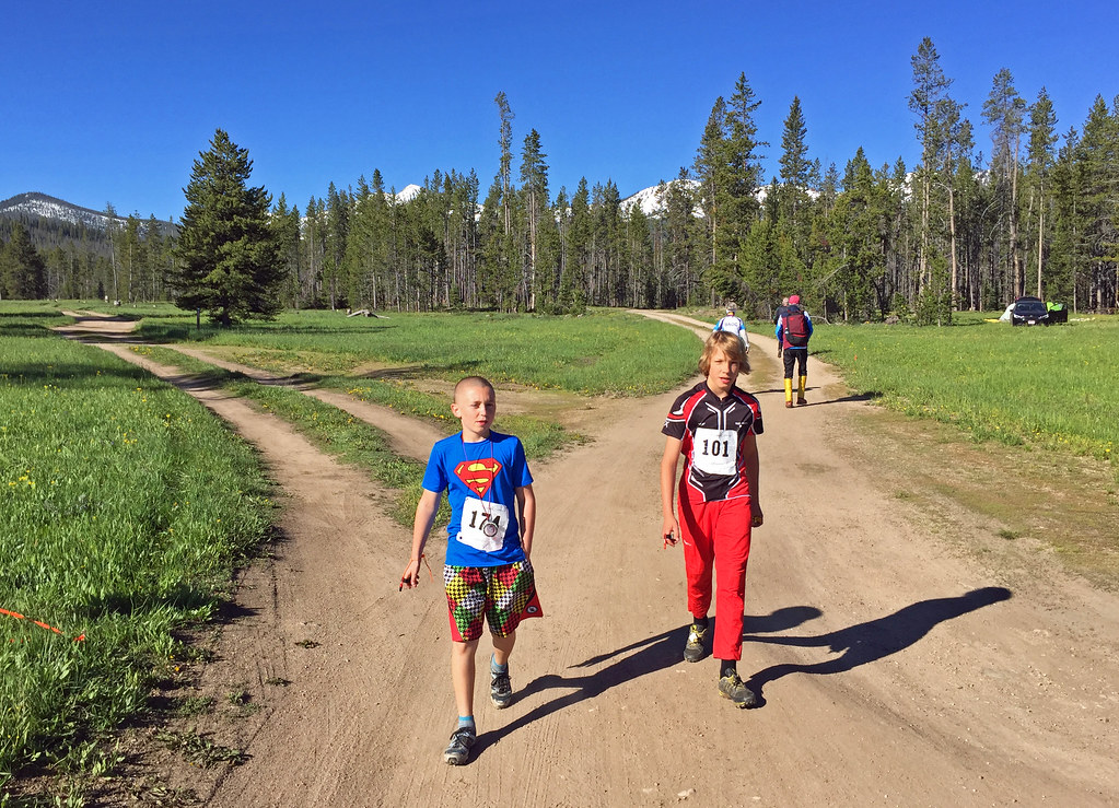
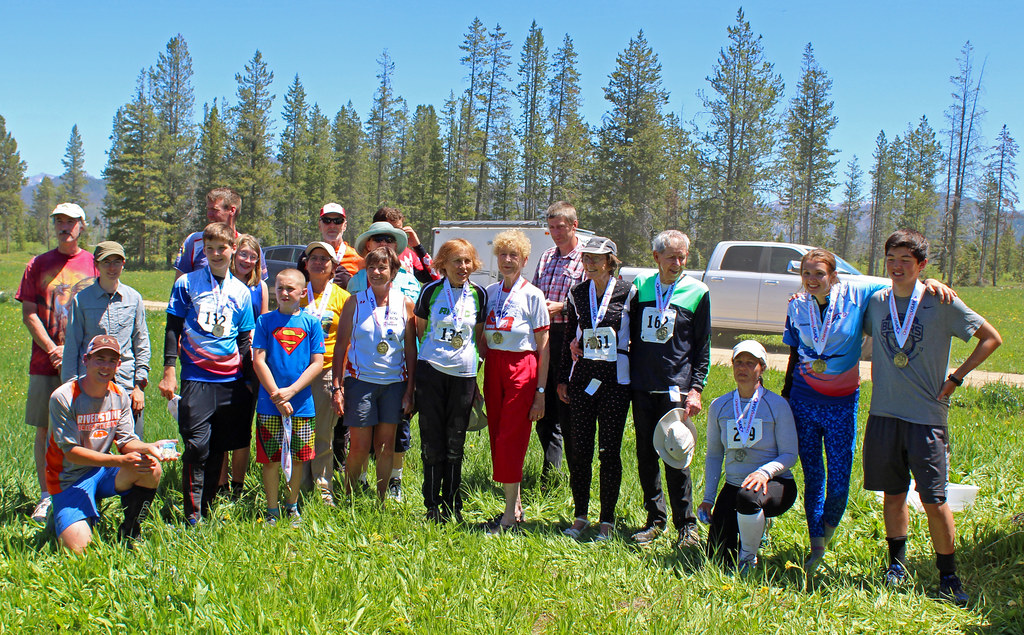
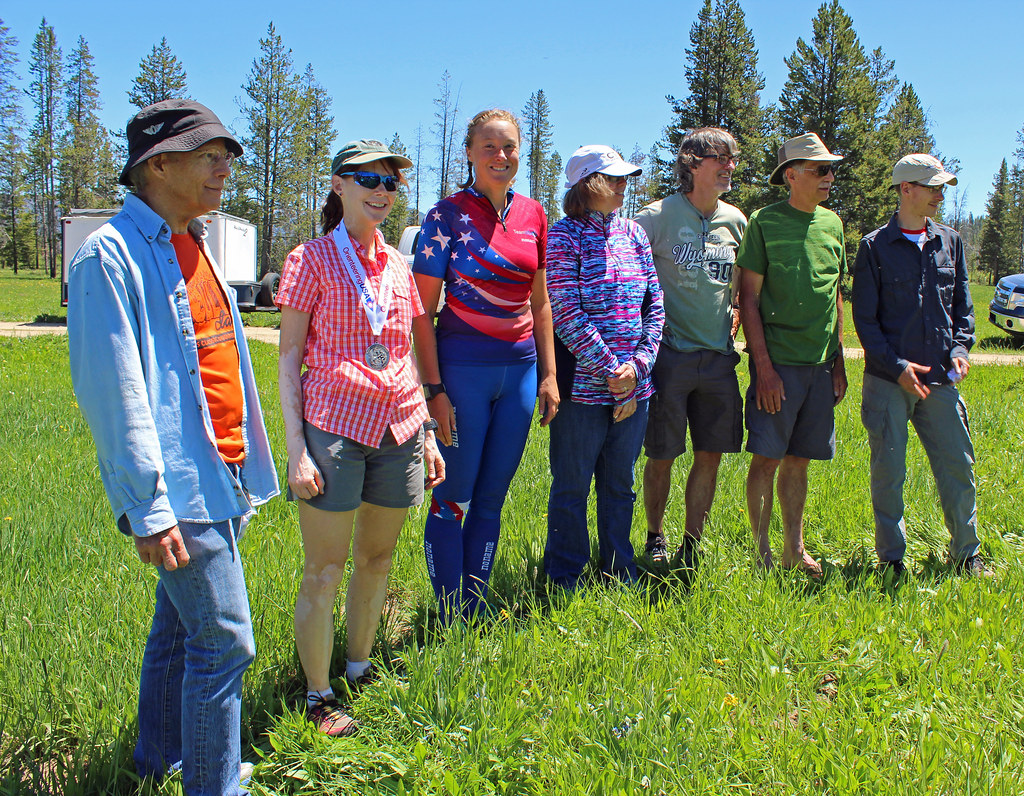
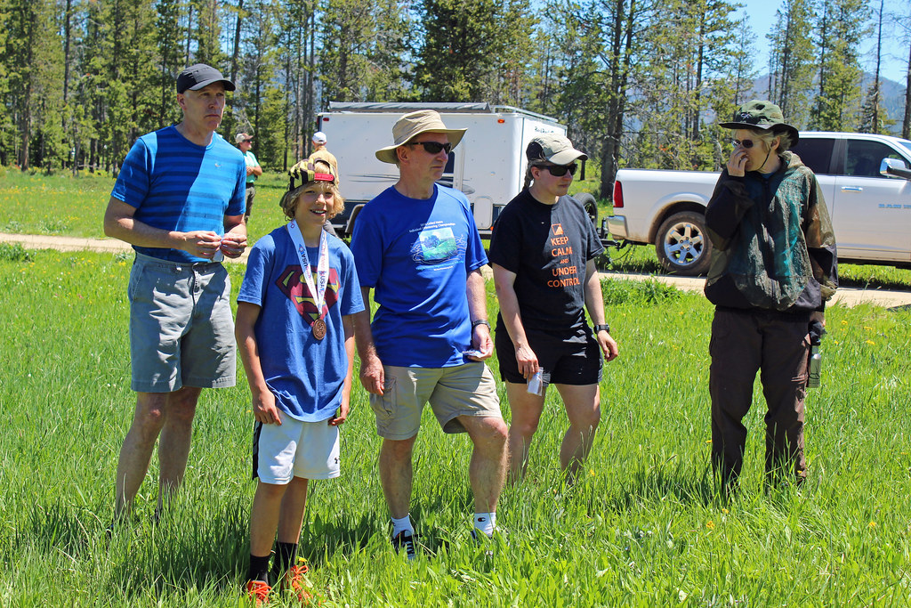
Orienteering race (Foot) 42:40 [4] **** 4.34 km (9:49 / km) +80m 9:00 / km
13c
2017 Gold Rush Meet and USA SML Championships near Stanley, ID, on the Dutch Creek map; Middle Distance. I started well enough though I was exerting a good bit. That may have contributed to errors. Through #5 I was fairly clean. For #6 I popped out on the drop off to the right and found 3 small unmapped boulders in a similar configuration to the mapped ones. I lost time dropping down and going left until I found the control above. I wanted to avoid green and more climb going to #7 so I dropped and got right. I cut back left but didn't see the pond that I expected to, and I didn't have an attackpoint. I wandered a bit with others before finding it. I didn't spike #8 but was pretty close. On the way to #9 I passed an orienteering I'd seen earlier and got distracted racing him. I read a depressions as a hill so I went left of a hilll instead of reading my bearing closely. I didn't figure out I'd misread the map until after finishing but wandered close enough to see others coming out of the control, to find it. I hit #11 well but was getting tired. I went over the spur and saw the pond on the way to #10 but paused on the wrong side of a knoll near the control. I went at #12 hard. However I again misread a depression for a knoll and went along the flat until I found a knoll to attack from. That eventually got me to #8 again. From there I figured out how to get to #12. I got there just before a younger woman did. She chased me straight at first but I dropped into the greenish depression and was slower skirting the left side of it. I couldn't catch her even though I tried. The run-in was the same but it was really too steep for me to push hard really down, given my back problems.
12 PM
Hiking (Street & Trail) 21:28 [1] 1.04 mi (20:38 / mi)
From finish of the US Middle Distance Championships, back to the parking area with Peggy. It was nice to get to walk together and just enjoy the views with the aftermath of our competitions. Neither of us did well racing but we both enjoyed this walk.
6 PM
Hiking (Trail) 52:19 [1] 1.2 mi (43:36 / mi) +11m 42:24 / mi
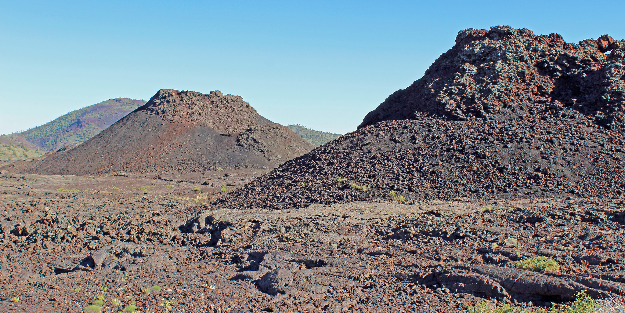
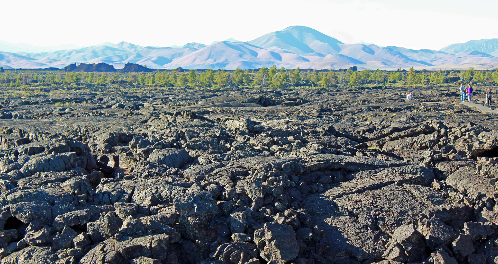
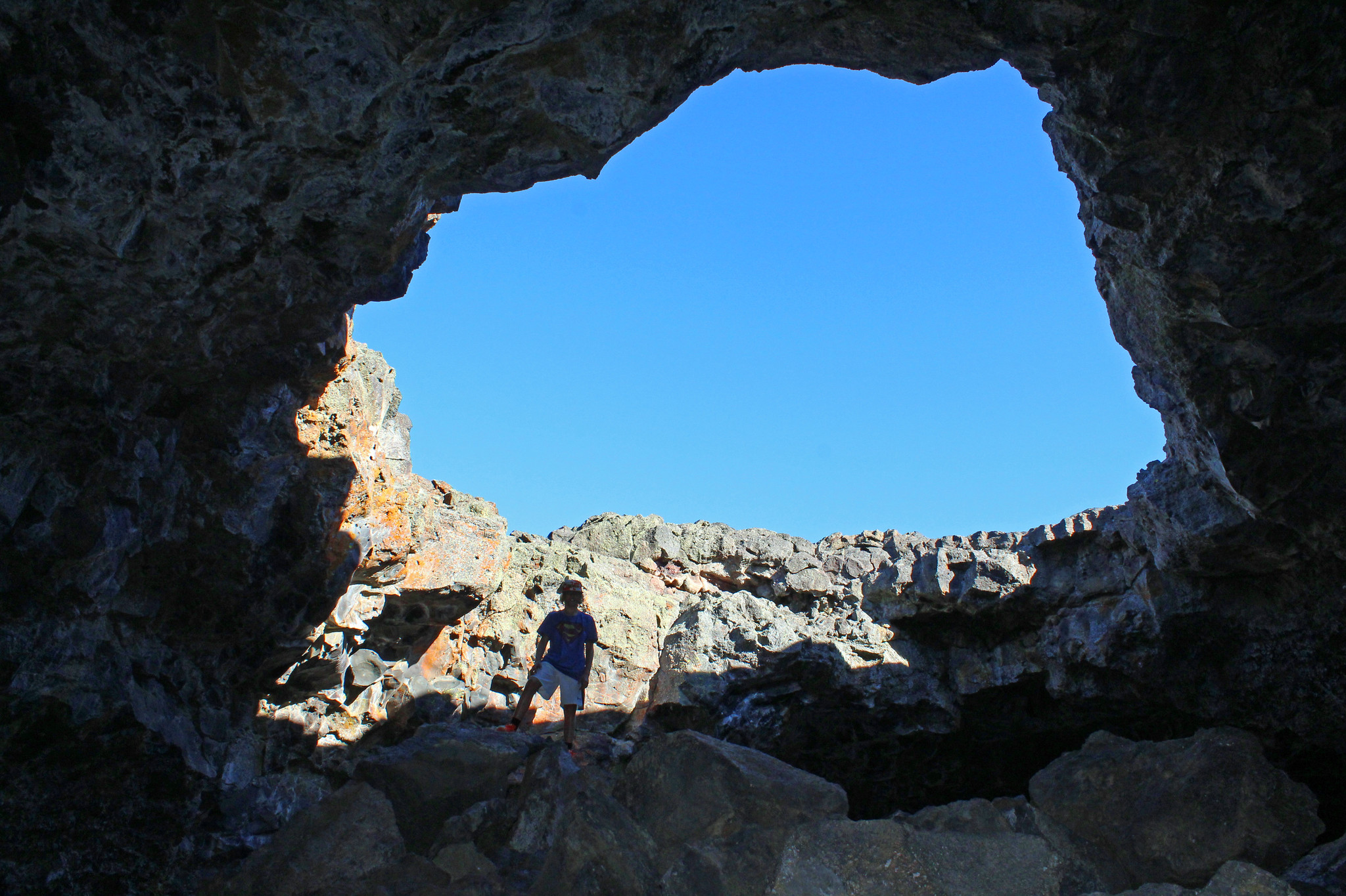
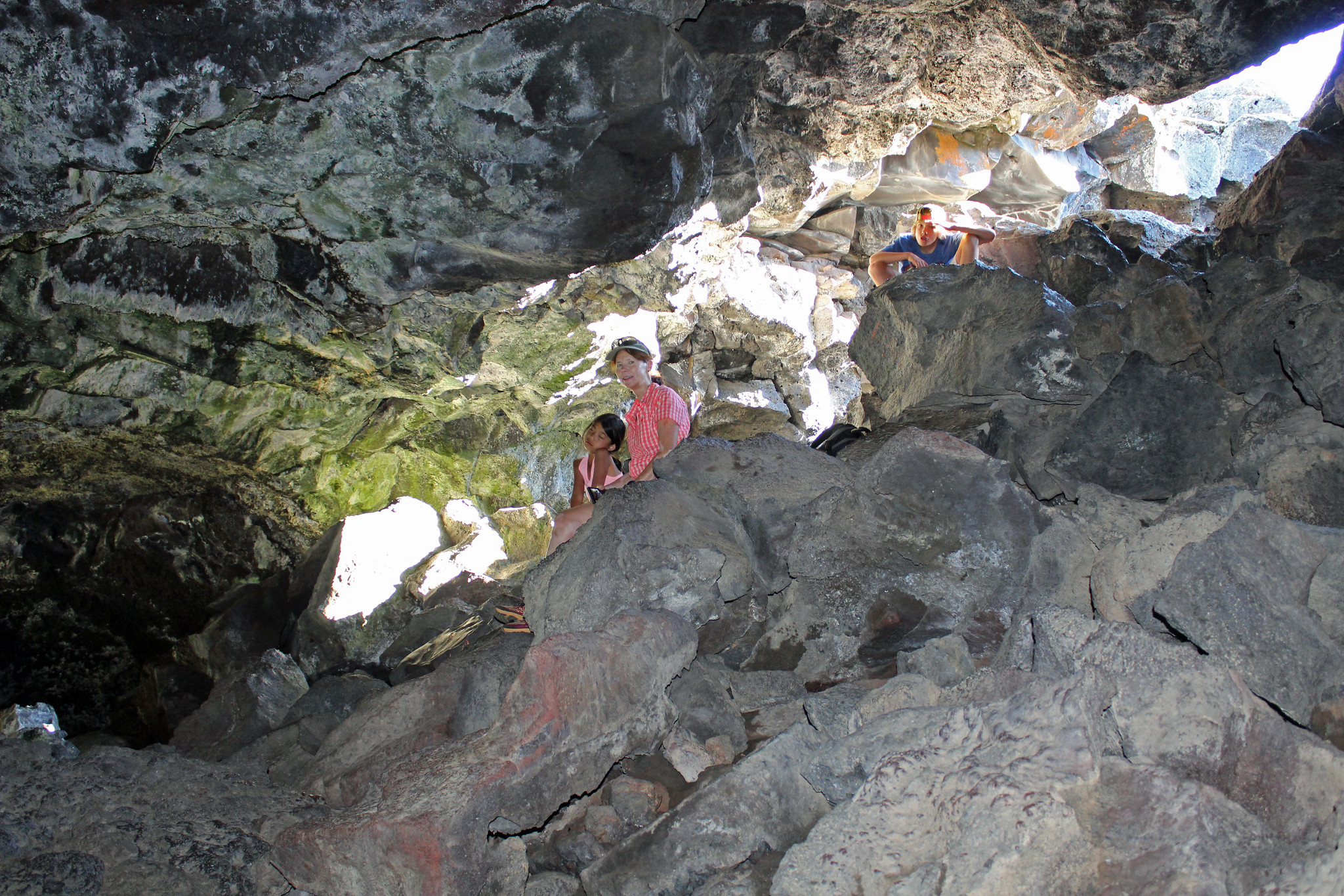
Craters of the Moon National Monument, ID. After brief walks around some cinder cones and other vulcanism, Peggy, Max, Samantha, and I walked out to the Dew Drop and Indian Tunnel caves. This was on a paved trail across the lava fields. It was hot in the sun however once we got 20 ft. underground, it was rather cool and water was dripping. The Dew Drop lava tube cave was roomy but only a bit larger than house sized. The second, Indian Tunnel, was well over 100m long with some parts of the roof caved-in. It must have been 30ft. deep or more. It was well worth the hike! We ended up the day with riding across a flat desert (the result of past Yellowstone-like caldera--hot spots 10s of millions of years ago) seeing distant volcanos, and staying in Idaho Falls, ID.