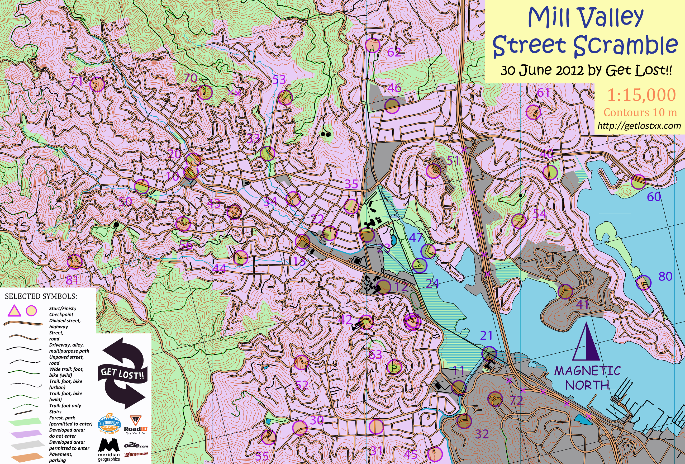
Discussion: O' 5m contours from 10m USGS elevation grid
in: Orienteering; General
Jun 27, 2013 5:29 AM
#
Has anybody made an O' map starting with 10m USGS grid? Can you share the results?
(for those who don't know) the whole US is covered by a 10x10 meter elevation grid shared freely by USGS.
(for those who don't know) the whole US is covered by a 10x10 meter elevation grid shared freely by USGS.
Jun 27, 2013 12:39 PM
#
The 10m DEMs are derived from the paper topos, so the quality is no better than those (that is, very poor for O maps). Use lidar if you can find it (2m or better sampling), or check with NED to see if there is data from some other source, but be careful since NED uses multiple sources of varying quality. I've used the 10m DEMs in a pinch, but you're almost better off with white paper.
Jun 27, 2013 12:40 PM
#
That's how the earliest US O maps were made. USGS contours leave much to the imagination (I.e., aren't very accurate in some areas), so a lot probably depends on where you are and how much time you want to spend correcting contour detail.
I'm sure others will chime in too. :-)
I'm sure others will chime in too. :-)
Jun 27, 2013 1:40 PM
#
Of course LiDAR is the best. If that is not availble or too expensive, look for 1/9 arcsec NED. The old DEM files are 1/3 arcsec and roughly equivalent to the 24K USGS topo maps. The 1/9 arcesec data makes a pretty good O-map.
Jun 27, 2013 6:27 PM
#
I'm not certain of the source of the contours on one of our local MTB orienteering maps. I'm fairly sure it was from USGS DEM, but not sure if it was 1/3 arcsec or 1/9 arcsec.
Here's a comparison of the USGS contours with smoothed contours from the county DEM derived from fairly recent lidar:
http://i.picasion.com/pic70/38856e2753debc2997dca8...
Here's a comparison of the USGS contours with smoothed contours from the county DEM derived from fairly recent lidar:
http://i.picasion.com/pic70/38856e2753debc2997dca8...
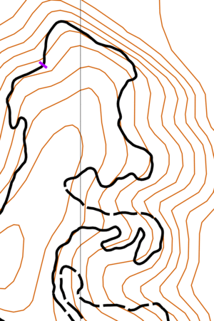
Jun 27, 2013 8:47 PM
#
I've done it - first my experience is that the old DEM files lead to contours that are slightly lower quality than the corresponding 1:24:000 USGS contours (probably because you've got two lossy transformations in between). If you're trying to make a quite-and-dirty map, I'm not sure that having metric contours is worth that effort and loss of detail. If you are really using the contours for detail (and not just broad shapes), I'd stick with the USGS map.
Wether the USGS contours are going to provide a workable basemap depends entirely on the terrain.
I see you're from WA. There are probably a few spots out in the east-side desert where the USGS contours will make a remarkably good starting point. But if you're trying to map under big Doug-firs, your experience is going to be completely different. You'll be missing almost all of the little details and you'll be having to fill in almost everything with careful field work.
Jul 1, 2013 4:04 AM
#
Thanks for suggestions: my reality was not bent and corresponds what others see.
I'm trying to do Eastern WA Cascade foothills, good pictures, bad contours.
Thanks to everyone.
I'm trying to do Eastern WA Cascade foothills, good pictures, bad contours.
Thanks to everyone.
This discussion thread is closed.