Discussion: Lots of rogaining this spring on the West Coast!
in: Get Lost!! in Fort Ord (Mar 3, 2012 - Seaside, CA, US)
Feb 9, 2012 2:47 AM
#
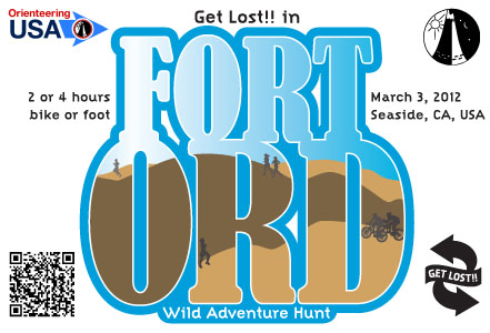
Coming on the heels of Discover Valley of Fire, we bring you Get Lost!! in Fort Ord, the first rogaine on the West Coast to use an international-standard MtbO map. Two weeks later, Get Lost!! in Black Diamond will be foot-only but will challenge even the best-fit teams in the rugged foothills of Sacramento River Delta. And to cap it all, experience breathtaking landscapes of Central Washington at Rock Creek Ramble—go for up to 10 hours!
Feb 10, 2012 11:35 PM
#
The use of MTBO mapping standards is a clever move IMO. They focus on the trail network, and the course planner can fix up details off-trail to support interesting control sites.
Years ago, we became frustrated with the standard topo mapping and started putting it in the computer, absorbing previous MTBO maps into a geo-referenced whole that now measures 1500 sq.km around a small urban area (pop 400,000). Both MTBO and Rogaine course planners report updates. Events are usually one or the other but some parts can allow choice, as you have.
Sample extracts via links to RouteGadget from http://waitangi21.ohv.org.nz or go direct to http://www.routechoice.co.nz and select the "Waitangi" events.
Feb 10, 2012 11:58 PM
#
At one of the venues, we aren't allowed off-trail. I hope we will be in a few years in at least a part of the area, but I wasn't allowed to say that in the event info lest it be interpreted as an invitation to tear up the place right now. Still, a trail-only rogaine on foot seems like an interesting enough alternative to a trail run.
Mar 29, 2012 7:28 AM
#
Heaps of rogaines in WA? I wish! We only have seven this year - an Upside Down 12hr, a 6hr, three 12hrs, two 24hrs and a 4hr novelty event. I would like to see another 24hr event in the mix.
And as this thread is partly about mapping for rogaines it might interest some to know that WARA produces made to order maps for each event. This is probably an average example.
And as this thread is partly about mapping for rogaines it might interest some to know that WARA produces made to order maps for each event. This is probably an average example.
Mar 29, 2012 1:11 PM
#
RouteGadget for both Fort Ord and Black Diamond is on my list of things to do. Unfortunately I get very little help with Get Lost!! (which currently is an average of 40 hrs/week job on top of a 45 hours/week full-time job), and priority is given to future events—post-event analysis may take a while.
GPS use is welcome at rogaines by Get Lost!! as long as the device doesn't have a display.
GPS use is welcome at rogaines by Get Lost!! as long as the device doesn't have a display.
Mar 29, 2012 2:41 PM
#
Next several months won't be so full of rogaines because Get Lost!! is taking a hiatus... but for those of you looking for long urban adventures, San Francisco Night & Day Challenge returns this June. And, terraloco is rumored to be thinking of hosting a 24 hour event sometime next spring in the famed Silicon Valley—all of it. Run, bike, or take transit (not much of the latter overnight, mind that!)
Apr 22, 2012 5:04 PM
#
Next up on the West Coast (of the U.S.)...
Port Gamble rogaine by Trioba AR on 12 May; Bend mini-rogaine by Columbia River OC on 26 May; and the San Francisco Night & Day Challenge by MerGeo on 02–03 June. Get your team together, grab your shoes or your bikes and go!
Port Gamble rogaine by Trioba AR on 12 May; Bend mini-rogaine by Columbia River OC on 26 May; and the San Francisco Night & Day Challenge by MerGeo on 02–03 June. Get your team together, grab your shoes or your bikes and go!
This discussion thread is closed.